| Crocus Hill | |
|---|---|
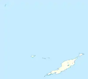 Crocus Hill Location in Anguilla | |
| Highest point | |
| Elevation | 73 m (240 ft) |
| Prominence | 73 m (240 ft) |
| Coordinates | 18°12′43″N 63°04′14″W / 18.21194°N 63.07056°W |
| Geography | |
| Location | Near The Valley, Anguilla |
Crocus Hill is the highest point of Anguilla, a British overseas territory in the Caribbean, with an elevation of 73 metres (240 ft).[1] The hill is located near The Valley, Anguilla's capital. Crocus Bay (west of the hill) was named after Crocus Hill.
See also
References
- ↑ "CIA World Factbook- Anguilla". Retrieved 11 July 2019.
External links
- (in English) Crocus Hill Map — Satellite Images of Crocus Hill, Maplandia
This article is issued from Wikipedia. The text is licensed under Creative Commons - Attribution - Sharealike. Additional terms may apply for the media files.