| Crooked Creek Range | |
|---|---|
| Highest point | |
| Elevation | 1,282 m (4,206 ft) |
| Geography | |
| Country | United States |
| State | Oregon |
| District | Malheur County |
| Range coordinates | 42°33′59.584″N 118°2′37.569″W / 42.56655111°N 118.04376917°W |
| Topo map | USGS Coyote Lake East |
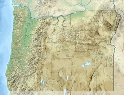
The Crooked Creek Range is a mountain range in Malheur County, Oregon, United States.[1]
References
This article is issued from Wikipedia. The text is licensed under Creative Commons - Attribution - Sharealike. Additional terms may apply for the media files.