Daysville | |
|---|---|
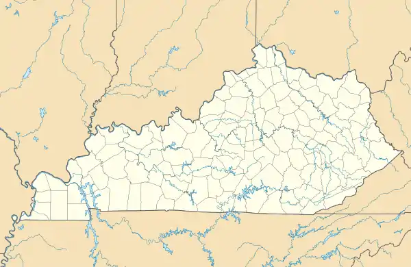 Daysville Location within the state of Kentucky | |
| Coordinates: 36°48′8.15″N 87°4′1.00″W / 36.8022639°N 87.0669444°W | |
| Country | United States |
| State | Kentucky |
| County | Todd |
| Elevation | 643 ft (196 m) |
| Time zone | UTC-6 (Central (CST)) |
| • Summer (DST) | UTC-5 (CST) |
| Area code(s) | 270 and 364 |
| GNIS feature ID | 490707[1] |
Daysville is an unincorporated community in Todd County, Kentucky, United States.[1]
Geography
Daysville is located in the east-central portion of Todd County along Kentucky Route 1309 just south of the concurrently running U.S. Route 68 and Kentucky Route 80 near the Logan County line.[2]
References
- 1 2 U.S. Geological Survey Geographic Names Information System: Daysville, Kentucky
- ↑ DeLorme (2010). Kentucky Atlas and Gazetteer (Map). Yarmouth, Maine: DeLorme. p. 79. § C10. ISBN 0-89933-340-0.
Municipalities and communities of Todd County, Kentucky, United States | ||
|---|---|---|
| Cities | 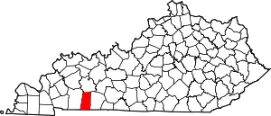 Location of Todd County, Kentucky | |
| CDP | ||
| Other unincorporated communities | ||
| Footnotes | ‡This populated place also has portions in an adjacent county or counties | |
This article is issued from Wikipedia. The text is licensed under Creative Commons - Attribution - Sharealike. Additional terms may apply for the media files.