Dereviane
Дерев'яне | |
|---|---|
Village | |
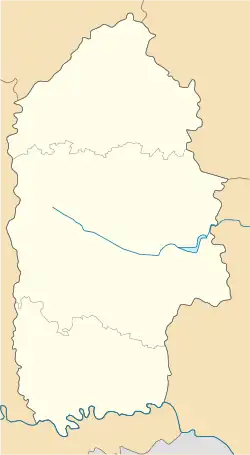 Dereviane Location of Dereviane within Khmelnytskyi Oblast 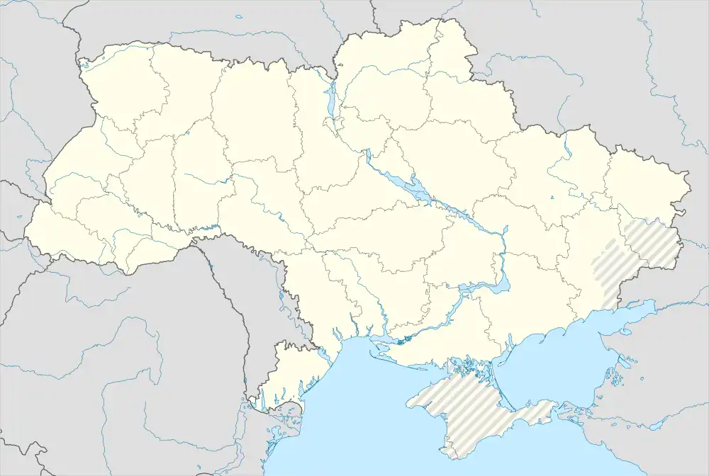 Dereviane Dereviane (Ukraine) | |
| Coordinates: 48°42′41″N 26°50′08″E / 48.71139°N 26.83556°E | |
| Country | |
| Oblast | Khmelnytskyi Oblast |
| Raion | Kamianets-Podilskyi Raion |
| Hromada | Kytaihorod rural hromada |
| Elevation | 309 m (1,014 ft) |
| Population (2001) | |
| • Total | 403 |
| Time zone | UTC+2 (EET) |
| • Summer (DST) | UTC+3 (EEST) |
| Postal code | 38104 |
| Area code | +380 5353 |
Dereviane (Ukrainian: Дерев'яне) is a village in the Kamianets-Podilskyi Raion, in the Khmelnytskyi Oblast of western Ukraine. It forms part of Kytaihorod rural hromada one of the hromadas of Ukraine.[2]
References
- ↑ "Dereviane (Khmelnytskyi Oblast)". weather.in.ua. Retrieved 20 July 2022.
- ↑ "Китайгородська громада" [Kitaygorodskaya hromada] (in Russian). Портал об'єднаних громад України.
| Cities | Coat of arms of Kamianets-Podilskyi Raion | |
|---|---|---|
| Urban-type settlements | ||
| Villages |
| |
| Rural settlements |
| |
This article is issued from Wikipedia. The text is licensed under Creative Commons - Attribution - Sharealike. Additional terms may apply for the media files.