Dockery, Mississippi | |
|---|---|
 | |
 Dockery, Mississippi  Dockery, Mississippi | |
| Coordinates: 33°43′43″N 90°37′00″W / 33.72861°N 90.61667°W | |
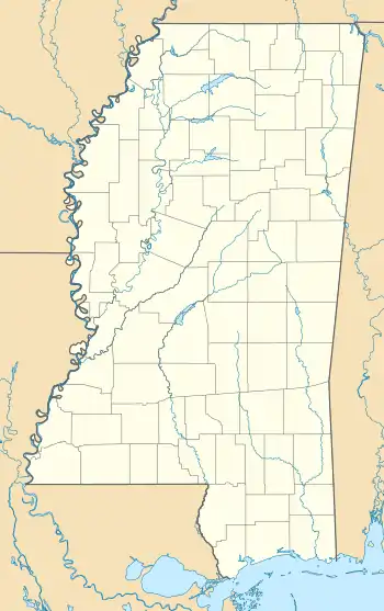
| Country | United States |
| State | Mississippi |
| County | Sunflower |
| Elevation | 135 ft (41 m) |
| Time zone | UTC-6 (Central (CST)) |
| • Summer (DST) | UTC-5 (CDT) |
| ZIP code | 38771 |
| Area code | 662 |
| GNIS feature ID | 691820[1] |
Dockery is an unincorporated community located in Sunflower County, Mississippi. Dockery is located on Mississippi Highway 8 and is approximately 4 miles (6.4 km) east of Cleveland and 4 miles (6.4 km) west of Ruleville.
The historic Dockery Plantation is located in Dockery.
References
Municipalities and communities of Sunflower County, Mississippi, United States | ||
|---|---|---|
| Cities | 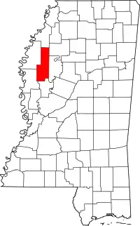 Map of Mississippi highlighting Sunflower County | |
| Towns | ||
| Unincorporated communities | ||
| Ghost towns | ||
| Footnotes | ‡This populated place also has portions in an adjacent county or counties | |
This article is issued from Wikipedia. The text is licensed under Creative Commons - Attribution - Sharealike. Additional terms may apply for the media files.