Duzluk | |
|---|---|
 | |
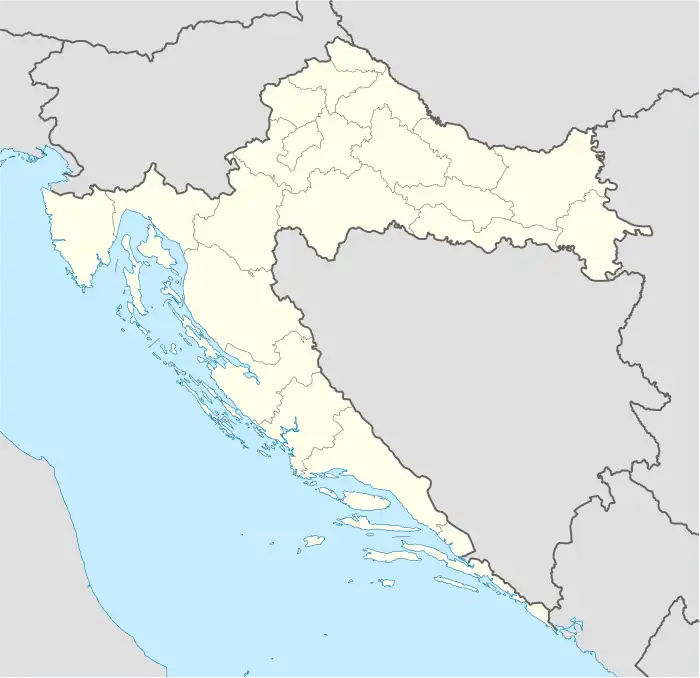 Duzluk Location of Duzluk within Croatia | |
| Coordinates: 45°31′N 17°53′E / 45.517°N 17.883°E | |
| Country | |
| County | |
| Area | |
| • Total | 20.9 km2 (8.1 sq mi) |
| Elevation | 259 m (850 ft) |
| Population (2021)[2] | |
| • Total | 136 |
| • Density | 6.5/km2 (17/sq mi) |
| Time zone | UTC+1 (CET) |
| • Summer (DST) | UTC+2 (CEST) |
| Postal code | 33515 Orahovica |
| Area code | 033 |
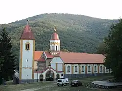
Duzluk is a village in north-eastern Slavonia, administratively located in the Town of Orahovica, Virovitica-Podravina county, Croatia.
Population
| Duzluk | ||||||
| year of census | 2001 | 1991 | 1981 | 1971 | 1961 | |
| Croats | 136 (67.66%) | 62 (25.61%) | 38 (15.76%) | 49 (20.24%) | 56 (19.17%) | |
| Serbs | 58 (28.85%) | 147 (60.74%) | 134 (55.60%) | 183 (75.61%) | 232 (79.45%) | |
| Yugoslavs | 0 | 11 (4.54%) | 62 (25.72%) | 0 | 0 | |
| others and unknown | 7 (3.48%) | 22 (9.09%) | 7 (2.90%) | 10 (4.13%) | 4 (1.36%) | |
| total | 201 | 242 | 241 | 242 | 292 | |
References
- ↑ Register of spatial units of the State Geodetic Administration of the Republic of Croatia. Wikidata Q119585703.
- ↑ "Population by Age and Sex, by Settlements, 2021 Census". Census of Population, Households and Dwellings in 2021. Zagreb: Croatian Bureau of Statistics. 2022.
- CD-rom: "Naselja i stanovništvo RH od 1857-2001. godine", Izdanje Državnog zavoda za statistiku Republike Hrvatske, Zagreb, 2005.
This article is issued from Wikipedia. The text is licensed under Creative Commons - Attribution - Sharealike. Additional terms may apply for the media files.