East Andover, Maine | |
|---|---|
Village | |
 East Andover | |
| Coordinates: 44°36′58″N 70°42′53″W / 44.61611°N 70.71472°W | |
| Country | United States |
| State | Maine |
| County | Oxford |
| Elevation | 689 ft (210 m) |
| Time zone | UTC-5 (Eastern (EST)) |
| • Summer (DST) | UTC-4 (EDT) |
| ZIP code | 04226 |
| Area code | 207 |
| GNIS feature ID | 565511[1] |
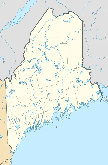
East Andover is an unincorporated village in the town of Andover, Oxford County, Maine, United States. The community is 9.2 miles (14.8 km) northwest of Rumford. East Andover has a post office with ZIP code 04226.[2][3]
References
- ↑ "East Andover". Geographic Names Information System. United States Geological Survey, United States Department of the Interior.
- ↑ United States Postal Service. "USPS - Look Up a ZIP Code". Retrieved April 19, 2017.
- ↑ "Postmaster Finder - Post Offices by ZIP Code". United States Postal Service. Retrieved April 19, 2017.
Municipalities and communities of Oxford County, Maine, United States | ||
|---|---|---|
| Towns | 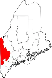 Oxford County map | |
| Plantations | ||
| Unorganized territories | ||
| CDPs | ||
| Other villages | ||
| Footnotes | ‡This populated place also has portions in an adjacent county | |
This article is issued from Wikipedia. The text is licensed under Creative Commons - Attribution - Sharealike. Additional terms may apply for the media files.