El Colegio | |
|---|---|
Municipality and town | |
 | |
.svg.png.webp) Flag  Seal | |
 Location of the municipality and town inside Cundinamarca Department of Colombia | |
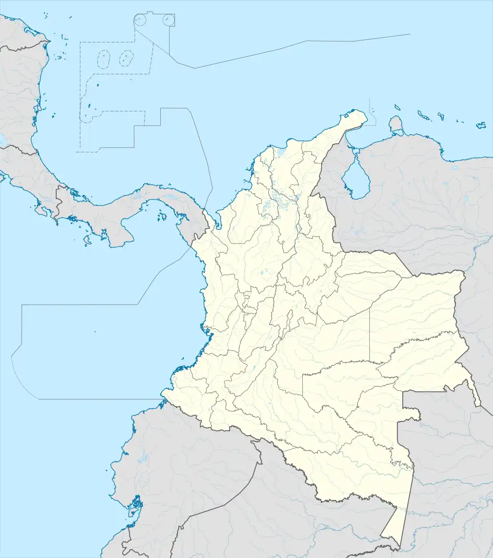 El Colegio Location in Colombia | |
| Coordinates: 4°34′51″N 74°26′33″W / 4.58083°N 74.44250°W | |
| Country | |
| Department | |
| Area | |
| • Municipality and town | 118.3 km2 (45.7 sq mi) |
| • Urban | 1.7 km2 (0.7 sq mi) |
| Elevation | 990 m (3,250 ft) |
| Population (2018 census)[1] | |
| • Municipality and town | 23,886 |
| • Density | 200/km2 (520/sq mi) |
| • Urban | 10,251 |
| • Urban density | 6,000/km2 (16,000/sq mi) |
| Time zone | UTC-5 (Colombia Standard Time) |
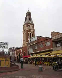
El Colegio (Spanish pronunciation: [el koˈlexjo]) is a municipality and town of Colombia in the department of Cundinamarca.
References
- ↑ "Infografia: El Colegio / Cundinamarca" (PDF) (in Spanish). DANE. Archived (PDF) from the original on 4 March 2023. Retrieved 4 March 2023.
Población total ajustada por omisión: 23.886
[Total population, adjusted for omissions: 23.886]
This article is issued from Wikipedia. The text is licensed under Creative Commons - Attribution - Sharealike. Additional terms may apply for the media files.