Eslinbridge
Droichead na hEislinne | |
|---|---|
Village | |
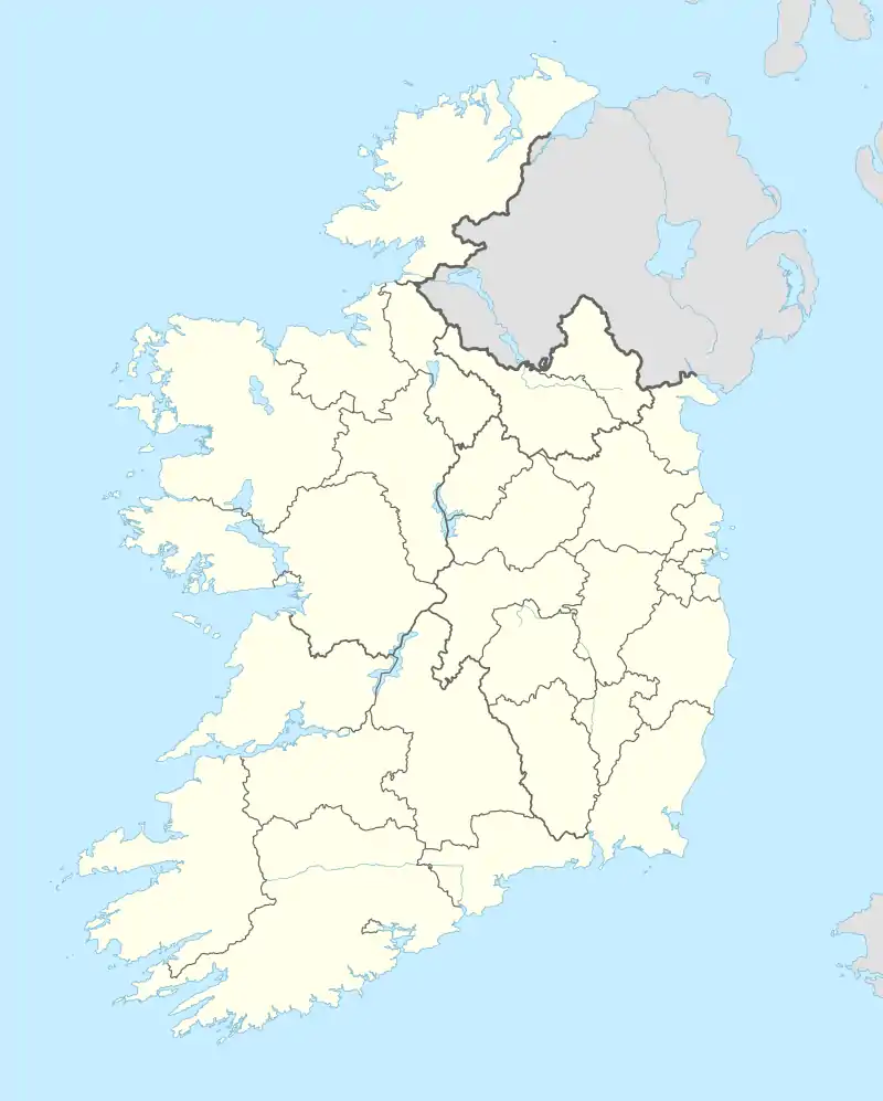 Eslinbridge Location in Ireland | |
| Coordinates: 53°56′19″N 7°55′11″W / 53.9385°N 7.9196°W | |
| Country | Ireland |
| Province | Connacht |
| County | County Leitrim |
| Elevation | 83 m (272 ft) |
| Time zone | UTC+0 (WET) |
| • Summer (DST) | UTC-1 (IST (WEST)) |
| Irish Grid Reference | N053987 |
Eslinbridge, also written Eslin Bridge (Irish: Droichead na hEislinne),[1] is a settlement in Mohill parish in County Leitrim at the crossroads of L3444 and L3447. Here, the L3444 road crosses Eslin River on a bridge.
The settlement covers parts of the townlands of Cavan, Drumregan, and Tulcon.[2] The community centre of Eslinbridge is located in the latter townland.[3]
References
- ↑ "Droichead na hEislinne / Eslinbridge". logainm.ie. Placenames Database of Ireland. Retrieved 15 January 2021.
- ↑ Michael Whelan. "The Place Names of Mohill".
- ↑ Eslinbridge Community Centre on MyPOIs
This article is issued from Wikipedia. The text is licensed under Creative Commons - Attribution - Sharealike. Additional terms may apply for the media files.