Ewen, Michigan | |
|---|---|
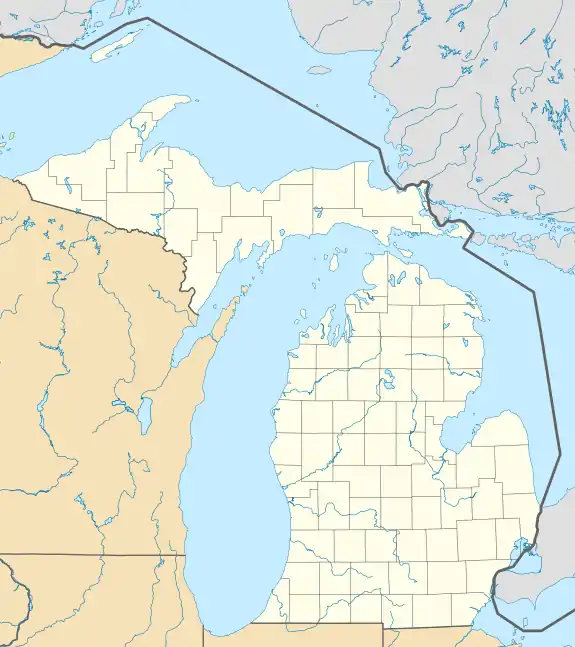 Ewen Location within the state of Michigan  Ewen Location within the United States | |
| Coordinates: 46°32′5″N 89°16′53″W / 46.53472°N 89.28139°W | |
| Country | United States |
| State | Michigan |
| County | Ontonagon |
| Township | McMillan |
| Area | |
| • Total | 0.84 sq mi (2.18 km2) |
| • Land | 0.84 sq mi (2.18 km2) |
| • Water | 0.00 sq mi (0.00 km2) |
| Elevation | 1,142 ft (348 m) |
| Population (2020) | |
| • Total | 229 |
| • Density | 271.65/sq mi (104.88/km2) |
| Time zone | UTC-5 (Eastern (EST)) |
| • Summer (DST) | UTC-4 (EDT) |
| ZIP Code | 49925 |
| Area code | 906 |
| FIPS code | 26-26820 |
| GNIS feature ID | 2806350[2] |
Ewen is an unincorporated community and census-designated place (CDP) in McMillan Township, Ontonagon County, Michigan, United States. It is situated on the Upper Peninsula of Michigan along Highway M-28, which leads east 39 miles (63 km) to Covington and west 35 miles (56 km) to Wakefield.
Ewen was first listed as a CDP prior to the 2020 census.[2]
Demographics
| Census | Pop. | Note | %± |
|---|---|---|---|
| 2020 | 229 | — | |
| U.S. Decennial Census[3] | |||
References
- ↑ "2020 U.S. Gazetteer Files". United States Census Bureau. Retrieved May 21, 2022.
- 1 2 3 "Ewen Census Designated Place". Geographic Names Information System. United States Geological Survey, United States Department of the Interior.
- ↑ "Census of Population and Housing". Census.gov. Retrieved June 4, 2016.
Municipalities and communities of Ontonagon County, Michigan, United States | ||
|---|---|---|
| Village | 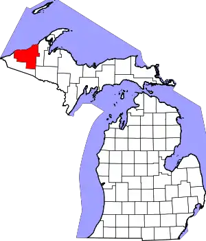 Map of Michigan highlighting Ontonagon County.svg | |
| Civil townships | ||
| CDPs | ||
| Other communities | ||
| Ghost town | ||
| Indian reservation | ||
This article is issued from Wikipedia. The text is licensed under Creative Commons - Attribution - Sharealike. Additional terms may apply for the media files.