Flores de Ávila | |
|---|---|
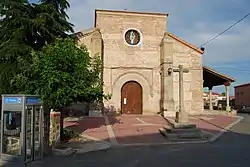 Church of Santa María del Castillo | |
|
Flag Seal | |
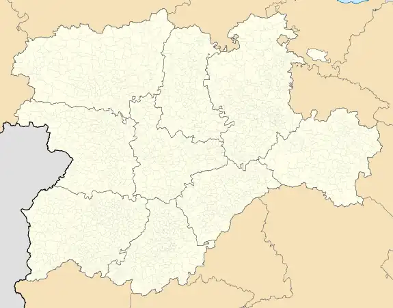 Flores de Ávila Location in Spain.  Flores de Ávila Flores de Ávila (Spain) | |
| Coordinates: 40°56′0″N 5°4′44″W / 40.93333°N 5.07889°W | |
| Country | |
| Autonomous community | |
| Province | |
| Municipality | Flores de Ávila |
| Area | |
| • Total | 43.04 km2 (16.62 sq mi) |
| Elevation | 898 m (2,946 ft) |
| Population (2018)[1] | |
| • Total | 307 |
| • Density | 7.1/km2 (18/sq mi) |
| Time zone | UTC+1 (CET) |
| • Summer (DST) | UTC+2 (CEST) |
| Website | Official website |
Flores de Ávila is a municipality located in the province of Ávila, Castile and León, Spain, about 164 km from Madrid.[2] According to the 2005 census (INE), the municipality had a population of 395 inhabitants.[3]
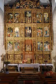
Altarpiece of the Church of Santa María del Castillo
References
This article is issued from Wikipedia. The text is licensed under Creative Commons - Attribution - Sharealike. Additional terms may apply for the media files.