Force, Pennsylvania | |
|---|---|
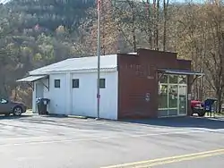 U.S. Post Office, Force, PA, April 2012 | |
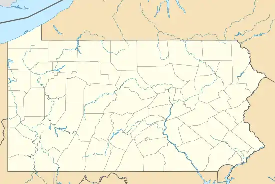 Force Location within the state of Pennsylvania | |
| Coordinates: 41°15′28″N 78°30′04″W / 41.25778°N 78.50111°W | |
| Country | United States |
| State | Pennsylvania |
| County | Elk |
| Township | Jay |
| Area | |
| • Total | 0.22 sq mi (0.56 km2) |
| • Land | 0.21 sq mi (0.55 km2) |
| • Water | 0.00 sq mi (0.01 km2) |
| Elevation | 1,240 ft (380 m) |
| Population | |
| • Total | 213 |
| • Density | 1,000.00/sq mi (386.48/km2) |
| Time zone | UTC-5 (Eastern (EST)) |
| • Summer (DST) | UTC-4 (EDT) |
| ZIP code | 15841 |
| Area code | 814 |
| FIPS code | 42-26504 |
Force is an unincorporated community and census-designated place in Jay Township, Elk County, Pennsylvania, United States. As of the 2020 census it had a population of 213.[3][4] It is located on Pennsylvania Route 255 between St. Marys and Penfield.[5]
The community has the name of Jack Force, a frontiersman.[6]
Demographics
| Census | Pop. | Note | %± |
|---|---|---|---|
| 2010 | 253 | — | |
| 2020 | 213 | −15.8% | |
| U.S. Decennial Census[7] | |||
References
- ↑ "ArcGIS REST Services Directory". United States Census Bureau. Retrieved October 12, 2022.
- ↑ "Census Population API". United States Census Bureau. Retrieved October 12, 2022.
- ↑ https://data.census.gov/table?q=Force+CDP;+Pennsylvania
- ↑ "Geographic Identifiers: 2010 Demographic Profile Data (G001): Force CDP, Pennsylvania". American Factfinder. U.S. Census Bureau. Archived from the original on February 13, 2020. Retrieved March 14, 2016.
- ↑ U.S. Geological Survey Geographic Names Information System: Force, Pennsylvania
- ↑ Moyer, Armond; Moyer, Winifred (1958). The origins of unusual place-names. Keystone Pub. Associates. p. 52.
- ↑ "Census of Population and Housing". Census.gov. Retrieved June 4, 2016.
Municipalities and communities of Elk County, Pennsylvania, United States | ||
|---|---|---|
| City | 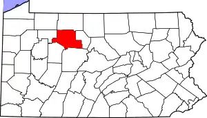 | |
| Boroughs | ||
| Townships | ||
| CDPs | ||
| Unincorporated communities | ||
This article is issued from Wikipedia. The text is licensed under Creative Commons - Attribution - Sharealike. Additional terms may apply for the media files.