Fort Resolution Airport | |||||||||||
|---|---|---|---|---|---|---|---|---|---|---|---|
| Summary | |||||||||||
| Airport type | Public | ||||||||||
| Operator | Government of the Northwest Territories | ||||||||||
| Location | Fort Resolution, Northwest Territories | ||||||||||
| Time zone | MST (UTC−07:00) | ||||||||||
| • Summer (DST) | MDT (UTC−06:00) | ||||||||||
| Elevation AMSL | 527 ft / 161 m | ||||||||||
| Coordinates | 61°10′51″N 113°41′23″W / 61.18083°N 113.68972°W | ||||||||||
| Map | |||||||||||
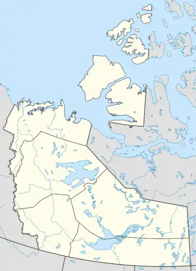 CYFR Location in the Northwest Territories | |||||||||||
| Runways | |||||||||||
| |||||||||||
| Statistics (2010) | |||||||||||
| |||||||||||
Fort Resolution Airport (IATA: YFR, ICAO: CYFR) is located adjacent to Fort Resolution, Northwest Territories, Canada.
References
- ↑ Canada Flight Supplement. Effective 0901Z 16 July 2020 to 0901Z 10 September 2020.
- ↑ Total aircraft movements by class of operation
External links
- Accident history for YFR: Fort Resolution Airport at Aviation Safety Network
- Past three hours METARs, SPECI and current TAFs for Fort Resolution Airport from Nav Canada as available.
| By name | |
|---|---|
| By location indicator | |
| By province/territory | |
| By area | |
| National Airports System | |
| Related | |
| |
This article is issued from Wikipedia. The text is licensed under Creative Commons - Attribution - Sharealike. Additional terms may apply for the media files.