Fort Ritner, Indiana | |
|---|---|
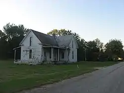 A typical house in the community | |
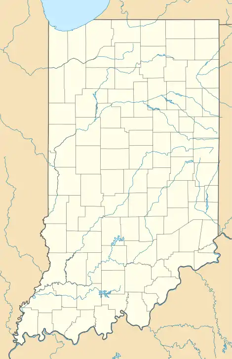  Fort Ritner 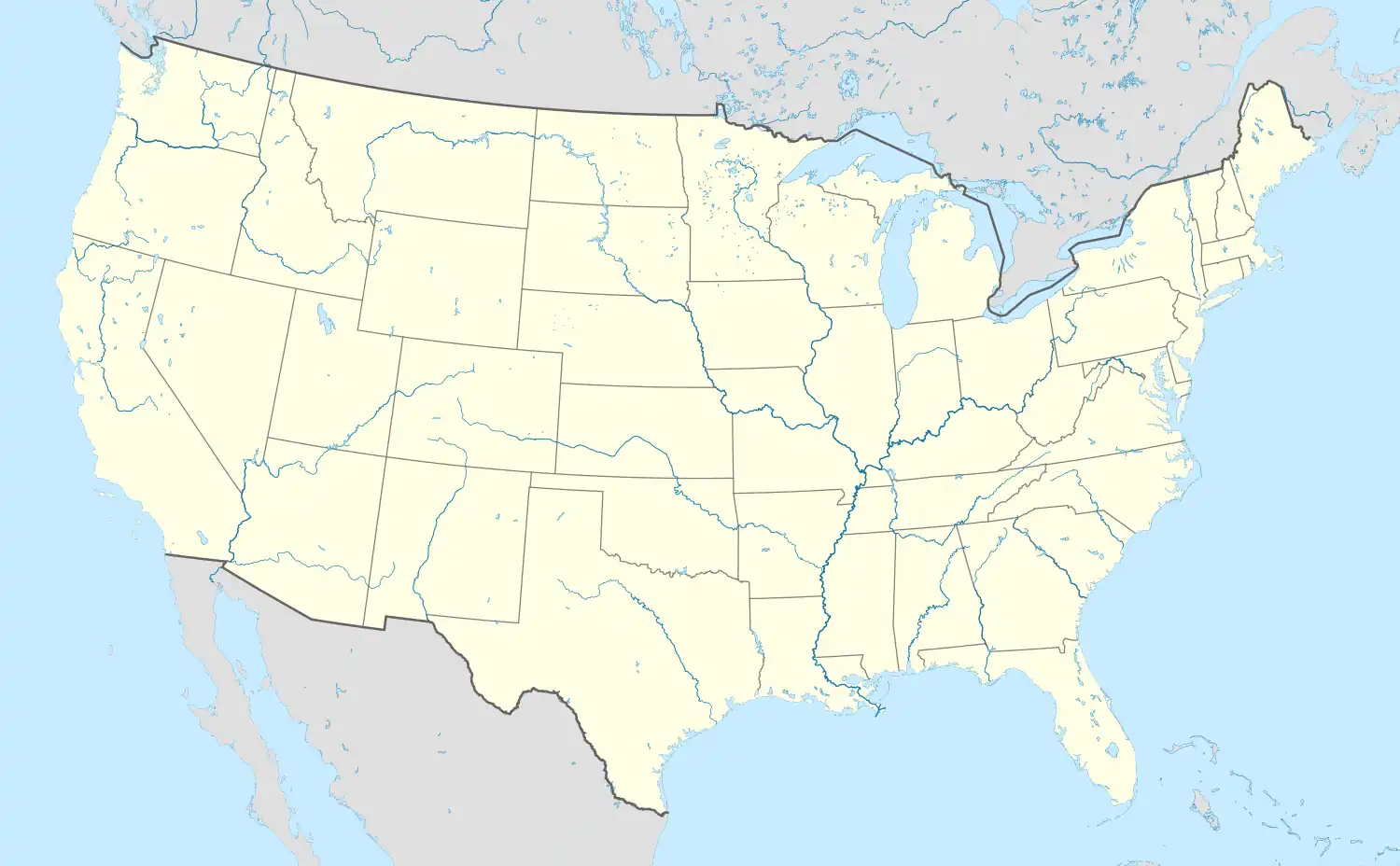 Fort Ritner | |
| Coordinates: 38°46′23″N 86°16′52″W / 38.77306°N 86.28111°W | |
| Country | United States |
| State | Indiana |
| County | Lawrence |
| Township | Guthrie |
| Elevation | 512 ft (156 m) |
| ZIP code | 47430 |
| FIPS code | 18-24268[1] |
| GNIS feature ID | 434688[2] |
Fort Ritner is an unincorporated community in Guthrie Township, Lawrence County, Indiana.
History
Fort Ritner was platted in 1857.[3] It was named for Michael Ritner, a railroad employee who oversaw construction on the nearby tunnel.[4][5]
Geography
Fort Ritner is located at 38°46′23″N 86°16′52″W / 38.77306°N 86.28111°W.
References
- ↑ "U.S. Census website". United States Census Bureau. Retrieved January 31, 2008.
- ↑ "Fort Ritner, Indiana". Geographic Names Information System. United States Geological Survey, United States Department of the Interior. Retrieved October 17, 2009.
- ↑ History of Lawrence and Monroe Counties, Indiana: Their People, Industries, and Institutions. B.F. Bowen. 1914. pp. 205.
- ↑ History of Lawrence and Monroe Counties, Indiana: Their People, Industries, and Institutions. B.F. Bowen. 1914. pp. 45.
- ↑ "Holland Store — Fort Ritner and Leesville". Lawrence County Museum of History & Edward L. Hutton Research Library. Retrieved December 28, 2021.
Municipalities and communities of Lawrence County, Indiana, United States | ||
|---|---|---|
| Cities | 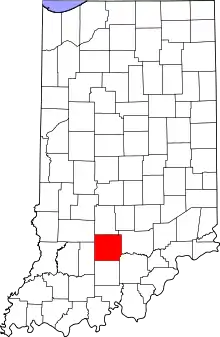 Map of Indiana highlighting Lawrence County | |
| Town | ||
| Townships | ||
| CDPs | ||
| Other communities |
| |
| Former communities | ||
This article is issued from Wikipedia. The text is licensed under Creative Commons - Attribution - Sharealike. Additional terms may apply for the media files.