Friedenswald, Missouri | |
|---|---|
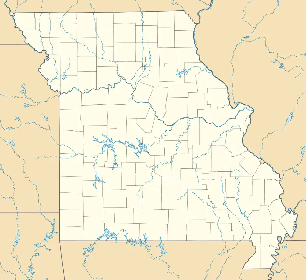 Friedenswald Friedenswald's position in Missouri | |
| Coordinates: 38°04′26″N 92°45′32″W / 38.07389°N 92.75889°W | |
| Country | United States |
| State | Missouri |
| County | Camden |
| Township | Osceola |
| Area | |
| • Total | 0.10 sq mi (0.26 km2) |
| • Land | 0.10 sq mi (0.26 km2) |
| • Water | 0.00 sq mi (0.00 km2) |
| Elevation | 814 ft (248 m) |
| Population (2020) | |
| • Total | 4 |
| • Density | 39.60/sq mi (15.34/km2) |
| Time zone | UTC-6 (Central (CST)) |
| • Summer (DST) | UTC-5 (CDT) |
| ZIP code | 65020 |
| Area code | 573 |
| GNIS feature ID | 2807612[2] |
Friedenswald is a village that was incorporated in 2008 and ratified by the Camden County, Missouri Commission under the Missouri Village Law.[3] Friedenswald is located in the central part of Camden County, Missouri on Lake Road 5-89. It comprises approximately 65 acres and is governed by a board of trustees. The village is one of the smallest in the U.S. having a population of 2.
Demographics
| Census | Pop. | Note | %± |
|---|---|---|---|
| 2020 | 4 | — | |
| U.S. Decennial Census[4] | |||
References
- ↑ "ArcGIS REST Services Directory". United States Census Bureau. Retrieved August 28, 2022.
- 1 2 U.S. Geological Survey Geographic Names Information System: Friedenswald, Missouri
- ↑ "Home Page". friedenswald.us. Archived from the original on April 26, 2012. Retrieved January 12, 2022.
- ↑ "Census of Population and Housing". Census.gov. Retrieved June 4, 2016.
Municipalities and communities of Camden County, Missouri, United States | ||
|---|---|---|
| Cities | 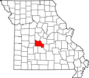 Map of Missouri highlighting Camden County | |
| Villages | ||
| Townships | ||
| CDPs | ||
| Other communities | ||
| Footnotes | ‡This populated place also has portions in an adjacent county or counties | |
This article is issued from Wikipedia. The text is licensed under Creative Commons - Attribution - Sharealike. Additional terms may apply for the media files.