Fuendejalón | |
|---|---|
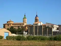 The two bell towers of Fuendejalon seen from the north | |
 Flag  Seal | |
 Fuendejalón  Fuendejalón  Fuendejalón | |
| Coordinates: 41°46′N 1°28′W / 41.767°N 1.467°W | |
| Country | |
| Autonomous community | |
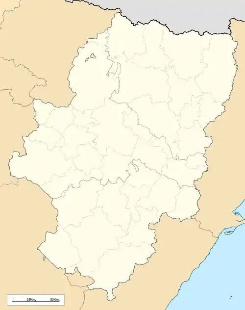
| Province | Zaragoza |
| Comarca | Campo de Borja |
| Area | |
| • Total | 75 km2 (29 sq mi) |
| Population (2018)[1] | |
| • Total | 793 |
| • Density | 11/km2 (27/sq mi) |
| Time zone | UTC+1 (CET) |
| • Summer (DST) | UTC+2 (CEST) |
Fuendejalón (Aragonese: Fuent de Xalón) is a municipality located in the province of Zaragoza, Aragon, Spain. According to the 2010 census the municipality has a population of 953 inhabitants.[2]
The Sierra del Bollón range rises west of the town.
See also
References
- ↑ Municipal Register of Spain 2018. National Statistics Institute.
- ↑ Instituto Nacional de Estadística (Spain)
External links
Wikimedia Commons has media related to Fuendejalón.
This article is issued from Wikipedia. The text is licensed under Creative Commons - Attribution - Sharealike. Additional terms may apply for the media files.