| Garfield Hills | |
|---|---|
| Highest point | |
| Elevation | 2,321 m (7,615 ft) |
| Geography | |
| Country | United States |
| State | Nevada |
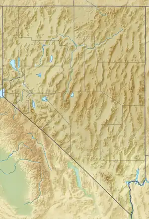
| District | Mineral County |
| Range coordinates | 38°27′3.725″N 118°17′47.450″W / 38.45103472°N 118.29651389°W |
| Topo map | USGS Mable Mountain |
The Garfield Hills are a mountain range in Mineral County, Nevada, in the Great Basin.[1]
References
- 1 2 "Garfield Hills". Geographic Names Information System. United States Geological Survey, United States Department of the Interior. Retrieved 2009-05-04.
This article is issued from Wikipedia. The text is licensed under Creative Commons - Attribution - Sharealike. Additional terms may apply for the media files.