Gaza, Iowa | |
|---|---|
  Gaza, Iowa | |
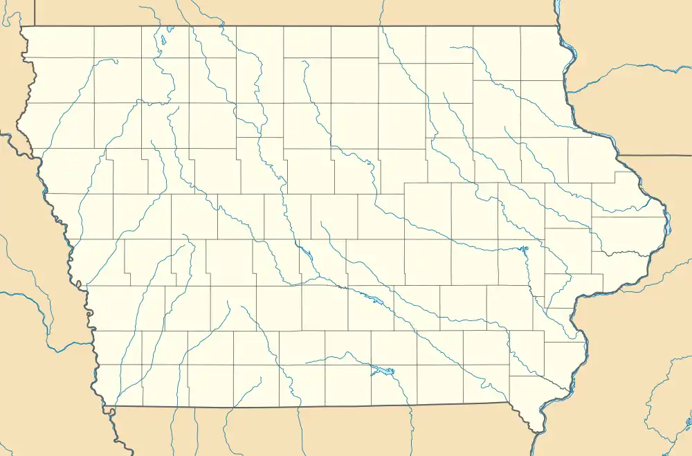
| Coordinates: 43°01′13″N 95°34′48″W / 43.02028°N 95.58000°W | |
| Country | United States |
| State | Iowa |
| County | O'Brien |
| Elevation | 1,496 ft (456 m) |
| Time zone | UTC-6 (Central (CST)) |
| • Summer (DST) | UTC-5 (CDT) |
| Area code | 712 |
| GNIS feature ID | 456864[1] |
Gaza is an unincorporated community in O'Brien County, Iowa, United States. Gaza is located at 43°01′13″N 95°34′48″W / 43.02028°N 95.58000°W.
History
Gaza got its start in the year 1888, following construction of the Illinois Central Railroad through that territory. It was named after Gaza, in the Middle East.[2] Gaza's population was 42 in 1902.[3]
Education
South O'Brien Community School District operates schools serving the community.[4] The district was formed on July 1, 1993, by the merger of three school districts: Paullina, Primghar, and Sutherland.[5]
References
- ↑ "Gaza". Geographic Names Information System. United States Geological Survey, United States Department of the Interior.
- ↑ Past and Present of O'Brien and Osceola Counties, Iowa, Volume 1. B. F. Bowen. 1914. p. 424.
- ↑ Cram's Modern Atlas: The New Unrivaled New Census Edition. J. R. Gray & Company. 1902. pp. 203–207.
- ↑ Mahoney, Mark (August 2, 2019). "South O'Brien superintendent to retire". Nwestiowa.com. Iowa Information Publishers and Printers. Retrieved March 28, 2020.
- ↑ " Gaza (and Calumet) had merged earlier with Sutherland to become part of the Sutherland Community School District.REORGANIZATION & DISSOLUTION ACTIONS SINCE 1965-66." Iowa Department of Education. Retrieved on July 20, 2018.
Municipalities and communities of O'Brien County, Iowa, United States | ||
|---|---|---|
| Cities | 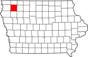 Map of Iowa highlighting O'Brien County | |
| Townships | ||
| Other unincorporated communities | ||
| Footnotes | ‡This populated place also has portions in an adjacent county or counties | |
This article is issued from Wikipedia. The text is licensed under Creative Commons - Attribution - Sharealike. Additional terms may apply for the media files.