Gilpin, Nevada | |
|---|---|
Unincorporated area | |
 Gilpin  Gilpin | |
| Coordinates: 39°35′53″N 119°20′09″W / 39.59806°N 119.33583°W[1] | |
| Country | United States |
| State | Nevada |
| County | Storey |
| Elevation | 4,147 ft (1,264 m) |
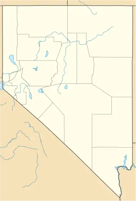
Gilpin is former railroad siding, located in the far northeast region of Storey County, Nevada.
The GNIS locates Gilpin[1] on the south side of the Truckee River, which is where there was a non-agency siding between Thisbe and Fernley on the Southern Pacific Railroad.[2] The siding was abandoned in 1959.[2]
In the 1930s, the site of Gilpin was on the north side of the river in Washoe County.[3] In 1905, Captain Matt Barach laid out a townsite at the Washoe County side. At that time a road to Olinghouse was planned but never built.[2] Gilpin can be accessed via the Painted Rock exit on Interstate 80.
A nearby rest area on Interstate 80 is named Gilpin.[4]
References
- 1 2 3 U.S. Geological Survey Geographic Names Information System: Gilpin
- 1 2 3 Carlson, Helen S. (1985). Nevada Place Names: A Geographical Dictionary. University of Nevada Press. ISBN 978-0-87417-094-8. Retrieved April 28, 2020.
- ↑ U.S. Geological Survey Geographic Names Information System: Gilpin (historical)
- ↑ U.S. Geological Survey Geographic Names Information System: Gilpin Rest Stop
Municipalities and communities of Storey County, Nevada, United States | ||
|---|---|---|
| CDP | 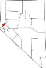 Storey County map | |
| Unincorporated community | ||
| Footnotes | ‡This populated place also has portions in adjacent county or counties. | |
This article is issued from Wikipedia. The text is licensed under Creative Commons - Attribution - Sharealike. Additional terms may apply for the media files.