Golfito | |
|---|---|
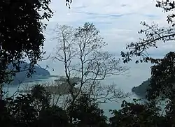 Golfito Bay | |
 Flag  Seal | |
Golfito canton | |
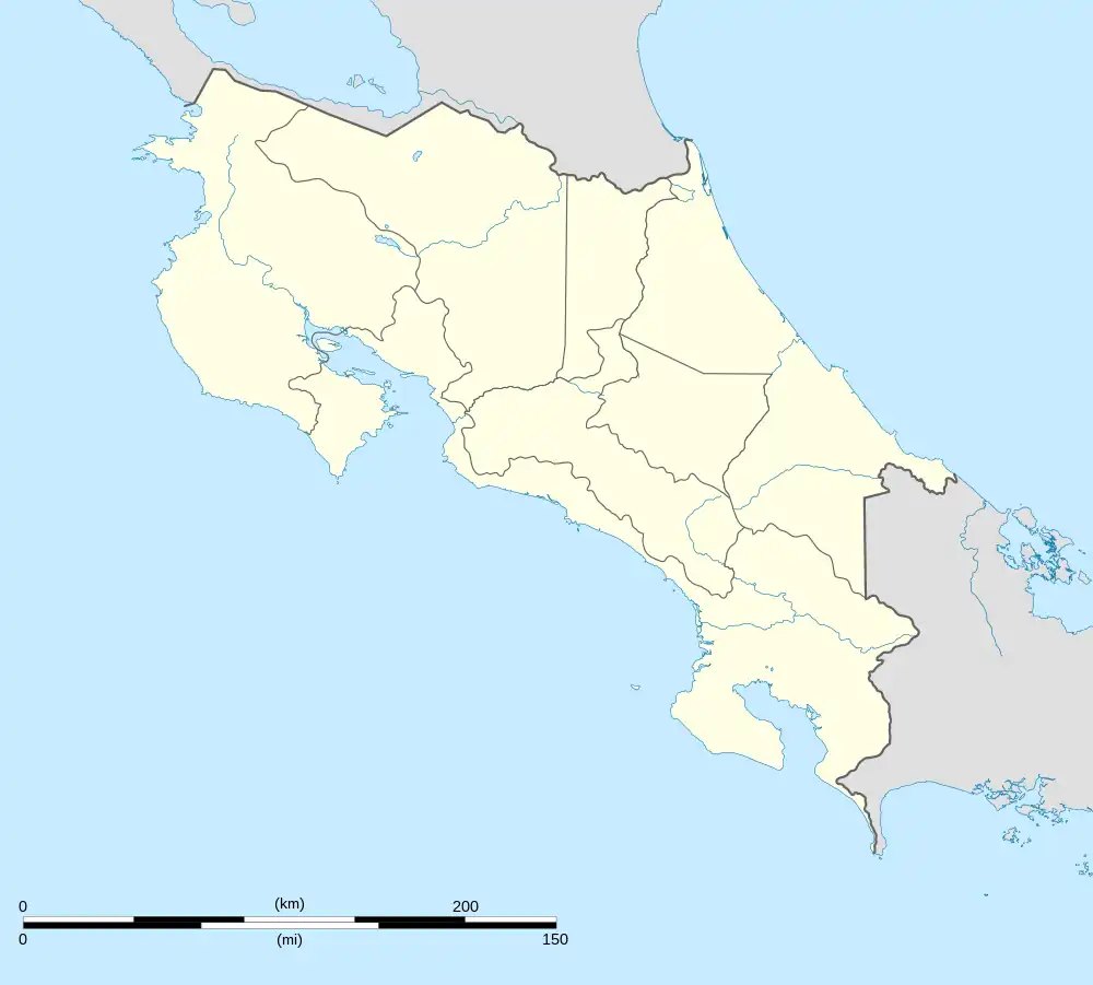 Golfito Golfito canton location in Costa Rica | |
| Coordinates: 8°25′31″N 83°16′04″W / 8.4253364°N 83.2679155°W | |
| Country | |
| Province | Puntarenas |
| Creation | 10 June 1949[1] |
| Head city | Golfito |
| Districts | |
| Government | |
| • Type | Municipality |
| • Body | Municipalidad de Golfito |
| Area | |
| • Total | 1,753.96 km2 (677.21 sq mi) |
| Elevation | 24 m (79 ft) |
| Population (2011) | |
| • Total | 39,150 |
| • Density | 22/km2 (58/sq mi) |
| Time zone | UTC−06:00 |
| Canton code | 607 |
Golfito is a canton in the Puntarenas province of Costa Rica.[2][3] The head city is in Golfito district.
History
Golfito was created on 10 June 1949 by decree 532.[1]
Geography
Golfito has an area of 1,753.96 km²[4] and a mean elevation of 24 metres.[2]
The canton encompasses the southernmost Pacific coast of Costa Rica, north from Punta Gorda Hill at the Panama border. It includes non-contiguous land on both sides of the Golfo Dulce and the entire southern portion of the Osa Peninsula.
Districts
The canton of Golfito is subdivided into the following districts:
Puerto Jiménez was the second district of the canton, which was segregated to become Puerto Jiménez canton on 8 April 2022.
Demographics
| Historical population | |||
|---|---|---|---|
| Census | Pop. | %± | |
| 1950 | 10,396 | — | |
| 1963 | 36,567 | 251.7% | |
| 1973 | 42,510 | 16.3% | |
| 1984 | 29,043 | −31.7% | |
| 2000 | 33,823 | 16.5% | |
| 2011 | 39,150 | 15.7% | |
|
Instituto Nacional de Estadística y Censos[5] |
|||
At the 2011 census, Golfito had a population of 39,150 inhabitants.[7]
Transportation
Road transportation
The canton is covered by the following road routes:
References
- 1 2 Hernández, Hermógenes (1985). Costa Rica: evolución territorial y principales censos de población 1502 - 1984 (in Spanish) (1 ed.). San José: Editorial Universidad Estatal a Distancia. pp. 164–173. ISBN 9977-64-243-5. Retrieved 5 October 2020.
- 1 2 "Declara oficial para efectos administrativos, la aprobación de la División Territorial Administrativa de la República N°41548-MGP". Sistema Costarricense de Información Jurídica (in Spanish). 19 March 2019. Retrieved 26 September 2020.
- ↑ División Territorial Administrativa de la República de Costa Rica (PDF) (in Spanish). Editorial Digital de la Imprenta Nacional. 8 March 2017. ISBN 978-9977-58-477-5.
- ↑ "Área en kilómetros cuadrados, según provincia, cantón y distrito administrativo". Instituto Nacional de Estadística y Censos (in Spanish). Retrieved 26 September 2020.
- ↑ "Instituto Nacional de Estadística y Censos" (in Spanish).
- ↑ "Sistema de Consulta de a Bases de Datos Estadísticas". Centro Centroamericano de Población (in Spanish).
- ↑ "Censo. 2011. Población total por zona y sexo, según provincia, cantón y distrito". Instituto Nacional de Estadística y Censos (in Spanish). Retrieved 26 September 2020.