| Golspie New South Wales | |||||||||||||||
|---|---|---|---|---|---|---|---|---|---|---|---|---|---|---|---|
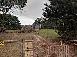 Church in Golspie | |||||||||||||||
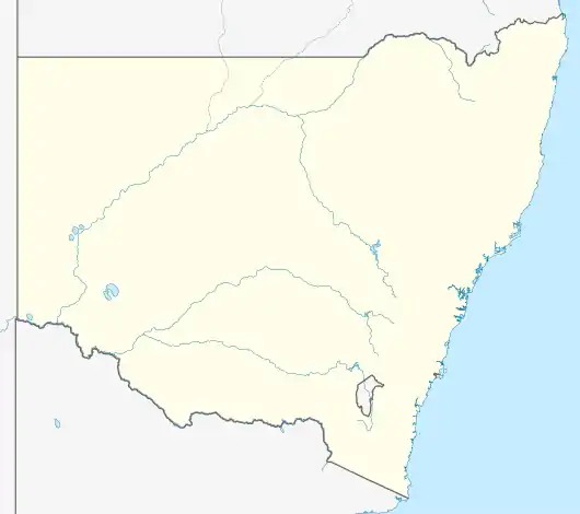 Golspie Location in New South Wales | |||||||||||||||
| Coordinates | 34°17′43″S 149°40′43″E / 34.29528°S 149.67861°E | ||||||||||||||
| Population | 58 (2016 census)[1] | ||||||||||||||
| Postcode(s) | 2580 | ||||||||||||||
| Elevation | 876 m (2,874 ft) | ||||||||||||||
| Location | |||||||||||||||
| LGA(s) | Upper Lachlan Shire | ||||||||||||||
| Region | Southern Tablelands | ||||||||||||||
| County | Georgiana | ||||||||||||||
| Parish | Hillas | ||||||||||||||
| State electorate(s) | Goulburn | ||||||||||||||
| Federal division(s) | Hume | ||||||||||||||
| |||||||||||||||
Golspie is located in the Upper Lachlan Shire of New South Wales, Australia.[2] It is primarily a livestock farming area. The closest towns to Golspie are Taralga and Crookwell. At the 2016 census, it had a population of 58.[1]
References
- 1 2 Australian Bureau of Statistics (27 June 2017). "Golspie". 2016 Census QuickStats. Retrieved 8 August 2017.
- ↑ "Golspie". Geographical Names Register (GNR) of NSW. Geographical Names Board of New South Wales. Retrieved 8 August 2017.
| Towns | |
|---|---|
| Localities and rural places |
|
Main Article: Local government areas of New South Wales | |
This article is issued from Wikipedia. The text is licensed under Creative Commons - Attribution - Sharealike. Additional terms may apply for the media files.