39°37′46″N 45°34′09″E / 39.62944°N 45.56917°E
Gomk
Գոմք | |
|---|---|
 | |
 Gomk  Gomk | |
| Coordinates: 39°37′46″N 45°34′09″E / 39.62944°N 45.56917°E | |
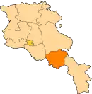
| Country | Armenia |
| Province | Vayots Dzor |
| Municipality | Vayk |
| Population | |
| • Total | 162 |
| Time zone | UTC+4 (AMT) |
| Gomk at GEOnet Names Server | |
Gomk (Armenian: Գոմք) is a village in the Vayk Municipality of the Vayots Dzor Province of Armenia.
History
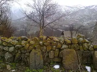
In the village is a 17th-century church and an important shrine/khachkar from 1263. The inscription upon it reads:
"In 712 of the Armenian era, under the pious Prince Prosh, Mkhitar, Arevik, son of Khoidan, set up this cross and chapel. In the village there was not even a church. We have built this church with our own means with much trouble, for us and our parents. You who read, remember us in your prayers."
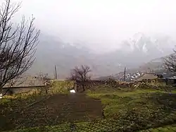
Gallery
 Scenery around Gomk
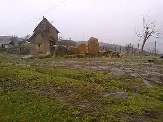 Khachkar chapel in Gomk
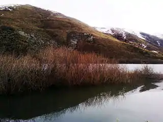 Lake near Gomk
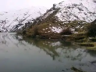 Lake near Gomk
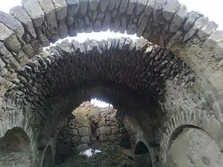 Church
References
External links
Wikimedia Commons has media related to Gomk.
- Report of the results of the 2001 Armenian Census, Statistical Committee of Armenia
- Kiesling, Brady (2005), Rediscovering Armenia: Guide, Yerevan, Armenia: Matit Graphic Design Studio
- Kiesling, Brady (June 2000). Rediscovering Armenia: An Archaeological/Touristic Gazetteer and Map Set for the Historical Monuments of Armenia (PDF). Archived (PDF) from the original on 6 November 2021.
This article is issued from Wikipedia. The text is licensed under Creative Commons - Attribution - Sharealike. Additional terms may apply for the media files.