| Gooderstone | |
|---|---|
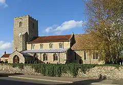 St George's, Gooderstone | |
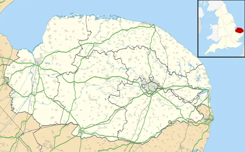  Gooderstone Location within Norfolk | |
| Area | 11.29 km2 (4.36 sq mi) |
| Population | 363 (2011 census[1] |
| • Density | 32/km2 (83/sq mi) |
| OS grid reference | TF7622002111 |
| District | |
| Shire county | |
| Region | |
| Country | England |
| Sovereign state | United Kingdom |
| Post town | Kings Lynn |
| Postcode district | PE33 |
| Dialling code | 01366 |
| Police | Norfolk |
| Fire | Norfolk |
| Ambulance | East of England |
| UK Parliament | |
Gooderstone is a village situated in the Breckland District of Norfolk and covers an area of 11.29 km2 (4.36 sq mi) with an estimated population of 390 in 2007,[2] reducing to 363 at the 2011 Census. It lies 6 miles (9.7 km) south west from Swaffham.
The villages name means "Guthere's farm/settlement".
Gooderstone is served by St George's Church[3][4] in the Benefice of Cockley Cley.[5]
Gooderstone Primary School also serves the villages of Foulden and Oxborough.
Gooderstone Water Gardens and Nature Trail is open daily throughout the year.
References

Wikimedia Commons has media related to Gooderstone.
- ↑ "Civil Parish population 2011". Neighbourhood Statistics. Office for National Statistics. Retrieved 4 August 2016.
- ↑ Breckland Yearbook Archived 2008-11-21 at the Wayback Machine
- ↑ St.Georges
- ↑ Norfolk churches
- ↑ "Benefice of Cockley Cley". Archived from the original on 18 July 2011. Retrieved 19 November 2008.
External links
- Gooderstone at the University of Nottingham's Key to English Place-Names
This article is issued from Wikipedia. The text is licensed under Creative Commons - Attribution - Sharealike. Additional terms may apply for the media files.