| Goose Creek | |
|---|---|
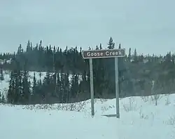 Road sign for Goose Creek | |
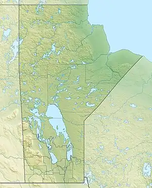 Location of the mouth of Goose Creek in Manitoba | |
| Location | |
| Country | Canada |
| Province | Manitoba |
| Region | Northern |
| Physical characteristics | |
| Source | Unnamed lake |
| • coordinates | 56°38′58″N 94°13′15″W / 56.64944°N 94.22083°W |
| • elevation | 144 m (472 ft) |
| Mouth | Nelson River |
• coordinates | 56°39′41″N 93°49′29″W / 56.66139°N 93.82472°W |
• elevation | 35 m (115 ft) |
| Basin features | |
| River system | Hudson Bay drainage basin |
Goose Creek is a river in the Hudson Bay drainage basin in Northern Manitoba, Canada.[1] It runs from an unnamed lake to the Nelson River, which it enters as a left tributary. The river flows under the Hudson Bay Railway (passed by the Via Rail Winnipeg – Churchill train), between the flag stops of Weir River to the north and Charlebois to the south, close to its source; and under Manitoba Provincial Road 290 just before its mouth.
See also
References
- ↑ "Goose Creek". Geographical Names Data Base. Natural Resources Canada. Retrieved 2012-06-24.
This article is issued from Wikipedia. The text is licensed under Creative Commons - Attribution - Sharealike. Additional terms may apply for the media files.