| Goul | |
|---|---|
 | |
.png.webp) | |
| Location | |
| Country | France |
| Physical characteristics | |
| Mouth | Truyère |
• coordinates | 44°41′36″N 2°34′21″E / 44.6932°N 2.5724°E |
| Length | 52.0 km (32.3 mi) |
| Basin features | |
| Progression | Truyère→ Lot→ Garonne→ Gironde estuary→ Atlantic Ocean |
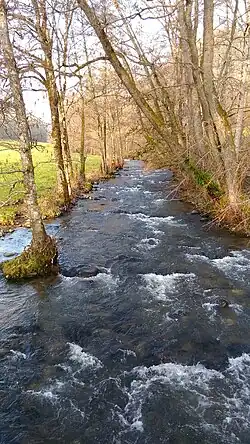
Goul is a river in the Massif Central of France. It runs through the Cantal (Vezels-Roussy, Leucamp, Ladinhac, Lapeyrugue, Cros-de-Ronesque, Jou-sous-Monjou, Saint-Clément, Pailherols, Taussac, Raulhac) and the Aveyron (Saint-Hippolyte, Murols) for 52 kilometers.[1] It is a tributary of the river Truyère.
References
This article is issued from Wikipedia. The text is licensed under Creative Commons - Attribution - Sharealike. Additional terms may apply for the media files.