Grafenstein
Grabštajn | |
|---|---|
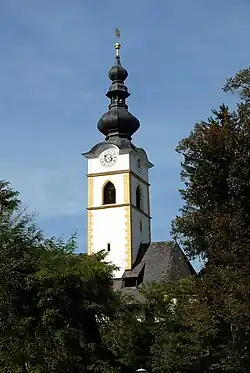 Grafenstein parish church | |
 Coat of arms | |
 Grafenstein Location within Austria | |
| Coordinates: 46°37′N 14°28′E / 46.617°N 14.467°E | |
| Country | Austria |
| State | Carinthia |
| District | Klagenfurt-Land |
| Government | |
| • Mayor | Stefan Deutschmann (ÖVP) |
| Area | |
| • Total | 50.13 km2 (19.36 sq mi) |
| Elevation | 418 m (1,371 ft) |
| Population (2018-01-01)[2] | |
| • Total | 2,884 |
| • Density | 58/km2 (150/sq mi) |
| Time zone | UTC+1 (CET) |
| • Summer (DST) | UTC+2 (CEST) |
| Postal code | 9131 |
| Area code | 04225 |
| Website | www.grafenstein.co.at |
Grafenstein (Slovene: Grabštajn) is a town in the district of Klagenfurt-Land in the Austrian state of Carinthia.
Geography
Grafenstein lies in the basin of Klagenfurt, about 12 km east of Klagenfurt on the Wörth Lake.
References
- ↑ "Dauersiedlungsraum der Gemeinden Politischen Bezirke und Bundesländer - Gebietsstand 1.1.2018". Statistics Austria. Retrieved 10 March 2019.
- ↑ "Einwohnerzahl 1.1.2018 nach Gemeinden mit Status, Gebietsstand 1.1.2018". Statistics Austria. Retrieved 9 March 2019.
Wikimedia Commons has media related to Grafenstein.
This article is issued from Wikipedia. The text is licensed under Creative Commons - Attribution - Sharealike. Additional terms may apply for the media files.