| Grande Fourche | |
|---|---|
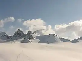 Grande Fourche (left peak) from the Plateau du Trient | |
| Highest point | |
| Elevation | 3,610 m (11,840 ft) |
| Prominence | 275 m (902 ft)[1] |
| Parent peak | Aiguille du Chardonnet |
| Coordinates | 45°58′34.7″N 7°01′16.1″E / 45.976306°N 7.021139°E |
| Geography | |
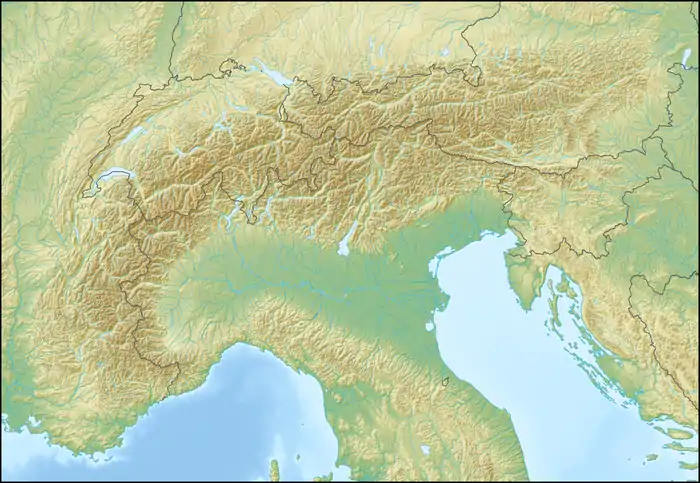 Grande Fourche Location in the Alps | |
| Location | Valais, Switzerland Haute-Savoie, France |
| Parent range | Mont Blanc Massif |
The Grande Fourche is a mountain in the Mont Blanc Massif, located on the Swiss-French border. It lies between the Glacier de Saleina (Valais) and the Glacier du Tour (Haute-Savoie).
References
External links
This article is issued from Wikipedia. The text is licensed under Creative Commons - Attribution - Sharealike. Additional terms may apply for the media files.