| Grappenhall and Thelwall | |
|---|---|
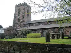 St Wilfrid's Church, Grappenhall | |
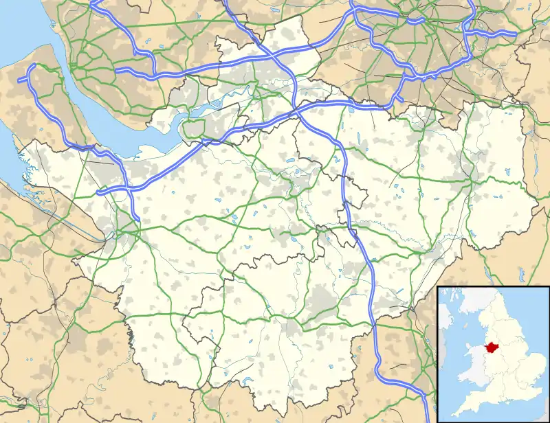 Grappenhall and Thelwall Location within Cheshire | |
| Population | 9,377 (2001) |
| OS grid reference | SJ636857 |
| Civil parish |
|
| Unitary authority | |
| Ceremonial county | |
| Region | |
| Country | England |
| Sovereign state | United Kingdom |
| Post town | WARRINGTON |
| Postcode district | WA4 |
| Dialling code | 01925 |
| Police | Cheshire |
| Fire | Cheshire |
| Ambulance | North West |
| UK Parliament | |
Grappenhall and Thelwall is a civil parish within the Borough of Warrington and the ceremonial county of Cheshire in England. It has a population of 9,377.[1]
The civil parish was formed in largely its present state in 1936, when the then Thelwall civil parish was joined in its entirety to the ancient civil parish of Grappenhall.[2]
See also
References
- ↑ Office for National Statistics : Census 2001 : Parish Headcounts : Warrington Archived 16 June 2012 at the Wayback Machine Retrieved 2009-12-06
- ↑ Youngs, F.A. (1991), pages 19-20, 37.
Sources
- Youngs, F. A. (1991). Guide to the administrative units of England. Volume II: Northern England. London: Royal Historical Society. ISBN 0-86193-127-0.
External links
Wikimedia Commons has media related to Grappenhall and Thelwall.
- The Flickr Grappenhall Photography Group
- WDCC, Warrington District Camera Club, which is based in Grappenhall
This article is issued from Wikipedia. The text is licensed under Creative Commons - Attribution - Sharealike. Additional terms may apply for the media files.