Greenfield Township, North Dakota | |
|---|---|
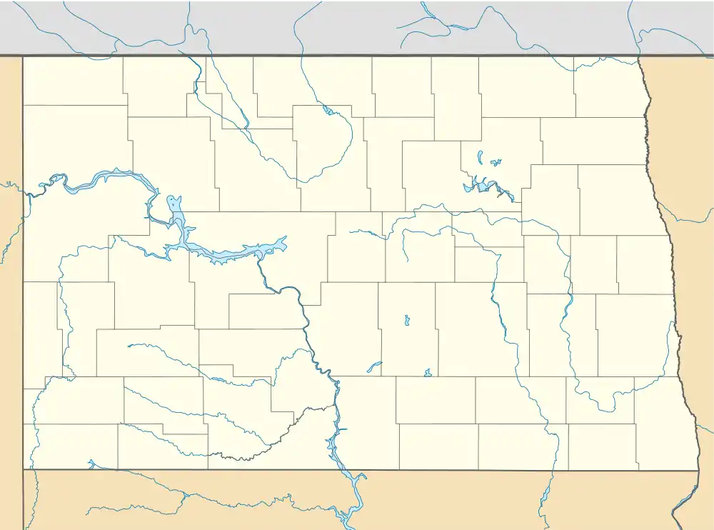 Greenfield Township, North Dakota Location within the state of North Dakota | |
| Coordinates: 47°17′01″N 98°09′05″W / 47.28361°N 98.15139°W | |
| Country | United States |
| State | North Dakota |
| County | Griggs County |
| Township | Greenfield Township |
| Area | |
| • Total | 34.91 sq mi (90.4 km2) |
| Elevation | 1,404 ft (428 m) |
| Population (2010) | |
| • Total | 102 |
| • Density | 2.9/sq mi (1.1/km2) |
| Time zone | UTC-6 (Central (CST)) |
| • Summer (DST) | UTC-5 (CDT) |
| Postal Code(s)[1] | 58429 & 58448 |
| Area code | 701 |
| GNIS feature ID | 1036632 |
| Census Code | 33260 |
| Census Class Code | T1 |
| Website | Griggs County |
| Census | Pop. | Note | %± |
|---|---|---|---|
| 1900 | 388 | — | |
| 1910 | 290 | −25.3% | |
| 1920 | 360 | 24.1% | |
| 1930 | 337 | −6.4% | |
| 1940 | 244 | −27.6% | |
| 1950 | 240 | −1.6% | |
| 1960 | 193 | −19.6% | |
| 1970 | 181 | −6.2% | |
| 1980 | 137 | −24.3% | |
| 1990 | 117 | −14.6% | |
| 2000 | 92 | −21.4% | |
| 2010 | 102 | 10.9% | |
| 2018 (est.) | 94 | [2] | −7.8% |
Greenfield Township[3] is a township in Griggs County, North Dakota, United States.
Demographics
Its population during the 2010 census was 102.[4]
Location within Griggs County
Greenfield Township is located in Township 144 Range 59 west of the Fifth principal meridian.[5]
| Range 61 | Range 60 | Range 59 | Range 58 | |
|---|---|---|---|---|
| Township 148 | Rosendal | Willow | Pilot Mound | Lenora |
| Township 147 | Bryan | Addie | Tyrol | Romness |
| Township 146 | Kingsley | Clearfield | Cooperstown | Washburn |
| Township 145 | Mabel | Helena | Ball Hill | Sverdrup |
| Township 144 | Dover | Bartley | Greenfield | Broadview |
References
Municipalities and communities of Griggs County, North Dakota, United States | ||
|---|---|---|
| Cities | 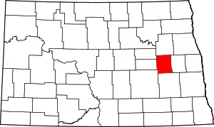 Map of North Dakota highlighting Griggs County | |
| Townships | ||
| CDPs | ||
| Other communities | ||
This article is issued from Wikipedia. The text is licensed under Creative Commons - Attribution - Sharealike. Additional terms may apply for the media files.