Guibéroua | |
|---|---|
Town, sub-prefecture, and commune | |
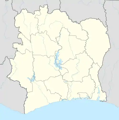 Guibéroua Location in Ivory Coast | |
| Coordinates: 6°14′N 6°11′W / 6.233°N 6.183°W | |
| Country | |
| District | Gôh-Djiboua |
| Region | Gôh |
| Department | Gagnoa |
| Area | |
| • Total | 566 km2 (219 sq mi) |
| Population (2021 census)[1] | |
| • Total | 77,669 |
| • Density | 140/km2 (360/sq mi) |
| • Town | 18,029[2] |
| (2014 census) | |
| Time zone | UTC+0 (GMT) |
Guibéroua is a town in south-central Ivory Coast. It is a sub-prefecture and commune of Gagnoa Department in Gôh Region, Gôh-Djiboua District.
Climate
| Climate data for Guibéroua | |||||||||||||
|---|---|---|---|---|---|---|---|---|---|---|---|---|---|
| Month | Jan | Feb | Mar | Apr | May | Jun | Jul | Aug | Sep | Oct | Nov | Dec | Year |
| Mean daily maximum °C (°F) | 34.1 (93.4) |
35.1 (95.2) |
35.1 (95.2) |
34.3 (93.7) |
33.3 (91.9) |
31.6 (88.9) |
30.4 (86.7) |
30.2 (86.4) |
31.4 (88.5) |
32.5 (90.5) |
33.1 (91.6) |
32.9 (91.2) |
32.8 (91.1) |
| Mean daily minimum °C (°F) | 20.6 (69.1) |
22.7 (72.9) |
22.9 (73.2) |
23 (73) |
22.9 (73.2) |
22.4 (72.3) |
21.8 (71.2) |
21.6 (70.9) |
22.2 (72.0) |
22.5 (72.5) |
22.4 (72.3) |
22.1 (71.8) |
22.3 (72.0) |
| Average rainy days (≥ 1 mm) | 1 | 5 | 10 | 11 | 12 | 13 | 8 | 7 | 11 | 14 | 9 | 2 | 103 |
| Source: Storm247[3] | |||||||||||||
References
- ↑ Citypopulation.de Population of the regions and sub-prefectures of Ivory Coast
- ↑ Citypopulation.de Population of cities & localities in Ivory Coast
- ↑ "Weather for Guibéroua, Ivory Coast - Climate". Storm247. Archived from the original on 2013-12-04. Retrieved 2013-12-04.
Regional seat: Gagnoa | ||
| Gagnoa Department | 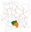 | |
| Oumé Department | ||
* also a commune | ||
This article is issued from Wikipedia. The text is licensed under Creative Commons - Attribution - Sharealike. Additional terms may apply for the media files.