Village | |
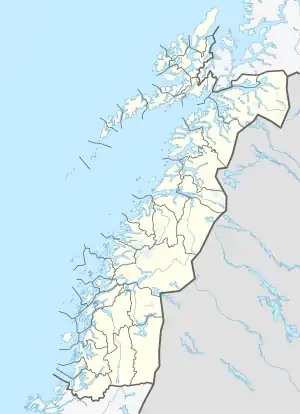 Håkvik Location in Nordland 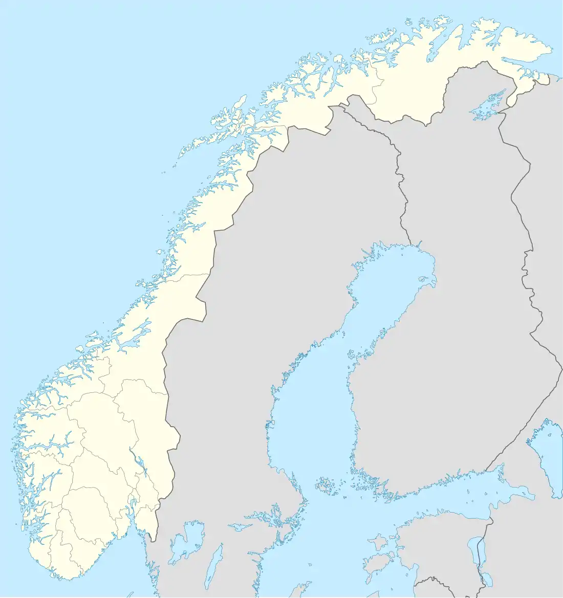 Håkvik Håkvik (Norway) | |
| Coordinates: 68°24′19″N 17°18′30″E / 68.4052°N 17.3083°E | |
| Country | Norway |
| Region | Northern Norway |
| County | Nordland |
| District | Ofoten |
| Municipality | Narvik |
| Area | |
| • Total | 0.62 km2 (0.24 sq mi) |
| Elevation | 19 m (62 ft) |
| Population (2018)[1] | |
| • Total | 739 |
| • Density | 1,192/km2 (3,090/sq mi) |
| Time zone | UTC+01:00 (CET) |
| • Summer (DST) | UTC+02:00 (CEST) |
| Post Code | 8520 Ankenesstrand |
Håkvik or Håkvika (Norwegian) or Ginnasluokta (Northern Sami) is a village in Narvik Municipality in Nordland county, Norway. The village is located along the southern shore of the Ofotfjorden, southwest of the town of Narvik and the village of Ankenesstranda.[3] Håkvik Chapel was built here in 1980. The European route E6 highway runs through the village.
The 0.62-square-kilometre (150-acre) village has a population (2018) of 739 which gives the village a population density of 1,192 inhabitants per square kilometre (3,090/sq mi).[1]
References
- 1 2 3 Statistisk sentralbyrå (1 January 2018). "Urban settlements. Population and area, by municipality".
- ↑ "Håkvik, Narvik (Nordland)". yr.no. Retrieved 2019-01-08.
- ↑ Store norske leksikon. "Håkvik" (in Norwegian). Retrieved 2012-05-29.
This article is issued from Wikipedia. The text is licensed under Creative Commons - Attribution - Sharealike. Additional terms may apply for the media files.