Hāʻena, Hawaii | |
|---|---|
 Hāʻena, Hawaii | |
| Coordinates: 22°13′17″N 159°33′41″W / 22.22139°N 159.56139°W | |
| Country | United States |
| State | Hawaii |
| County | Kauai |
| Area | |
| • Total | 1.453 sq mi (3.76 km2) |
| • Land | 1.453 sq mi (3.76 km2) |
| • Water | 0 sq mi (0 km2) |
| Elevation | 23 ft (7 m) |
| Population | |
| • Total | 550 |
| • Density | 380/sq mi (150/km2) |
| Time zone | UTC-10 (Hawaii-Aleutian) |
| Area code | 808 |
| GNIS feature ID | 365072[2] |
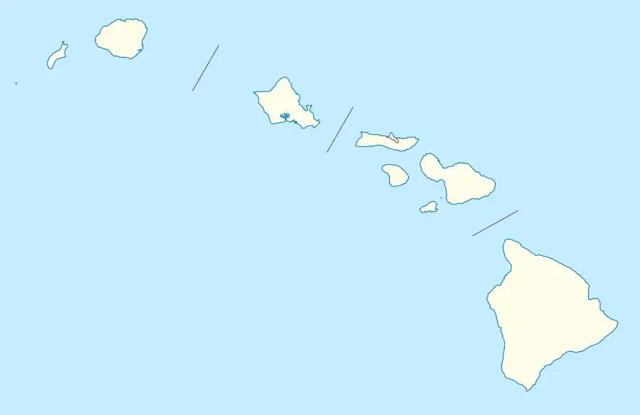
Hāʻena is an unincorporated community and census-designated place on the island of Kauai in Kauai County, Hawaii, United States. Its population was 550 as of the 2020 census.[1] The community is located on the north side of the island along Hawaii Route 560.
Geography
Hāʻena is located at 22°13′17″N 159°33′41″W / 22.2213479°N 159.5612936°W. According to the U.S. Census Bureau, the community has an area of 1.453 square miles (3.76 km2), all of it land.[1]
References
Wikimedia Commons has media related to Hāʻena, Kauai County, Hawaii.
Islands, municipalities, and communities of Kauai County, Hawaii, United States | ||
|---|---|---|
| CDPs | 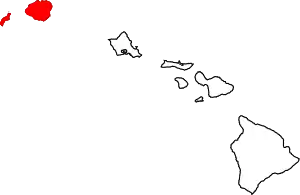 Map of Hawaii highlighting Kauai County | |
| Other communities | ||
This article is issued from Wikipedia. The text is licensed under Creative Commons - Attribution - Sharealike. Additional terms may apply for the media files.