Hồng Ngự district
Huyện Hồng Ngự | |
|---|---|
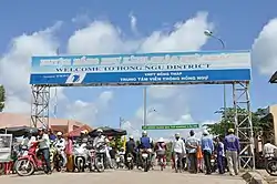 A sign saying "Welcome to Hồng Ngự District" | |
| Country | |
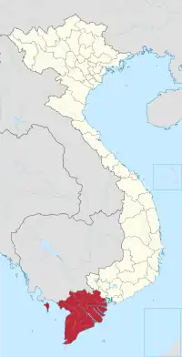
| Region | Mekong Delta |
| Province | Đồng Tháp |
| Founded | December 19, 1929
1930: official |
| Capital | Thường Thới Tiền |
| Area | |
| • District | 80.98 sq mi (209.74 km2) |
| Population (2018) | |
| • District | 211,000 |
| • Density | 1,490/sq mi (575/km2) |
| • Urban | 14.947 |
| Time zone | UTC+7 (Indochina Time) |
| Website | hongngu |
Hồng Ngự is a rural district of Đồng Tháp province in the Mekong Delta region of Vietnam. As of 2009 the district had a population of 150,050.[1] The district covers an area of 209.74 km². The district capital lies at Thường Thới Tiền.[1]
On December 23, 2008, Hồng Ngự township, the communes of An Bình A, An Bình B, Bình Thạnh, Tân Hội and a portion of Thường Lạc commune were separated from the district to form the new district-level town of Hồng Ngự.
Divisions
The district is divided into the following communes:
- Hồng Ngự
- Thường Thới Tiền (commune-level town)
- Phú Thuận A
- Phú Thuận B
- Long Thuận
- Long Khánh A
- Long Khánh B
- Thường Lạc
- Thường Thới Hậu A
- Thường Thới Hậu B
- Thường Phước 1
- Thường Phước 2
Gallery
 Thường Thới Tiền embankment |
 Thường Thới Tiền ferry terminal |
References
- 1 2 "Districts of Vietnam". Statoids. Retrieved March 13, 2009.
10°49′59″N 105°16′59″E / 10.833°N 105.283°E
This article is issued from Wikipedia. The text is licensed under Creative Commons - Attribution - Sharealike. Additional terms may apply for the media files.