| Hagerhorst Mountains | |
|---|---|
| Highest point | |
| Elevation | 2,067 m (6,781 ft) |
| Geography | |
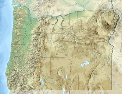
| Country | United States |
| State | Oregon |
| District | Klamath County |
| Range coordinates | 42°28′29.542″N 120°55′3.937″W / 42.47487278°N 120.91776028°W |
| Topo map | USGS Campbell Reservoir |
The Hagerhorst Mountains are a mountain range in Klamath County, Oregon.[1]
References
This article is issued from Wikipedia. The text is licensed under Creative Commons - Attribution - Sharealike. Additional terms may apply for the media files.