Hanur | |
|---|---|
Town | |
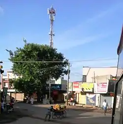 Hanur Town | |
| Nickname: Town of Hills | |
| Coordinates: 12°04′59″N 77°16′59″E / 12.083°N 77.283°E | |
| Country | |
| State | Karnataka |
| District | Chamarajanagar |
| Government | |
| • Body | Town Panchayath |
| Area | |
| • Total | 11.02 km2 (4.25 sq mi) |
| Elevation | 655 m (2,149 ft) |
| Population (2011) | |
| • Total | 11,066[1] |
| Languages | |
| • Official | Kannada |
| Time zone | UTC+5:30 (IST) |
| PIN | 571 439 |
| Telephone code | 08224 |
| Vehicle registration | KA-10 |
| Website | www |
Hanur is a major taluk in Chamrajnagar district of Karnataka State, India.
References
- ↑ "Census Data Handbook 2011 Chamarajanagara District" (PDF). Retrieved 9 August 2023.
This article is issued from Wikipedia. The text is licensed under Creative Commons - Attribution - Sharealike. Additional terms may apply for the media files.