Harbrinkhoek
| |
|---|---|
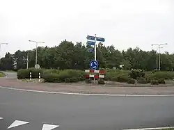 Roundabout in Harbrinkhoek | |
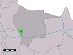 The town centre (dark green) and the statistical district (light green) of Harbrinkhoek in the municipality of Tubbergen. | |
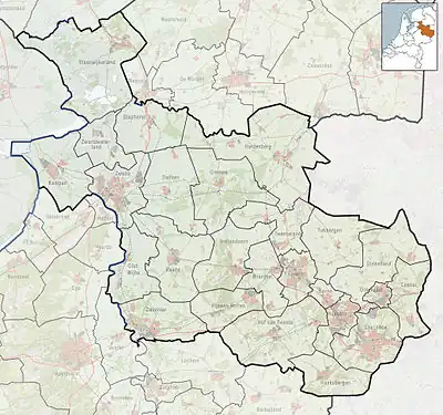 Harbrinkhoek Location in province of Overijssel in the Netherlands 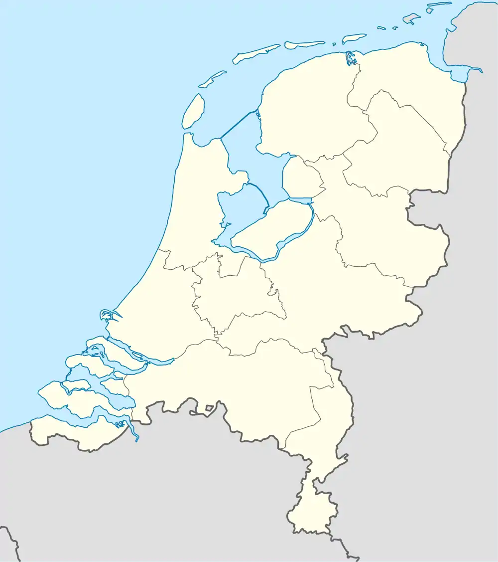 Harbrinkhoek Harbrinkhoek (Netherlands) | |
| Coordinates: 52°23′N 6°43′E / 52.383°N 6.717°E | |
| Country | Netherlands |
| Province | Overijssel |
| Municipality | Tubbergen |
| Area | |
| • Total | 5.12 km2 (1.98 sq mi) |
| Elevation | 13 m (43 ft) |
| Population (2021)[1] | |
| • Total | 1,880 |
| • Density | 370/km2 (950/sq mi) |
| Demonym(s) | Harbrinkhoekers, Grupndrieters |
| Time zone | UTC+1 (CET) |
| • Summer (DST) | UTC+2 (CEST) |
| Postal code | 7615[1] |
| Dialing code | 0546 |
Harbrinkhoek (Tweants: Haarbig) is a village in the Dutch province of Overijssel. It is a part of the municipality of Tubbergen, and lies about 5 km northeast of Almelo.
It was first mentioned in 1844 as Harbrink, and means "settlement of the people of Harbert (person)".[3] In the 1950s, the hamlet turned into a little village. The village is twinned with Mariaparochie, but both still have separate place name signs, statistical entries and postal codes.[4]
References
- 1 2 3 "Kerncijfers wijken en buurten 2021". Central Bureau of Statistics. Retrieved 17 March 2022.
- ↑ "Postcodetool for 7664NA". Actueel Hoogtebestand Nederland (in Dutch). Het Waterschapshuis. Retrieved 17 March 2022.
- ↑ "Harbrinkhoek - (geografische naam)". Etymologiebank (in Dutch). Retrieved 17 March 2022.
- ↑ "Harbrinkhoek-Mariaparochie". Plaatsengids (in Dutch). Retrieved 17 March 2022.
Wikimedia Commons has media related to Harbrinkhoek.
This article is issued from Wikipedia. The text is licensed under Creative Commons - Attribution - Sharealike. Additional terms may apply for the media files.