Harij | |
|---|---|
city | |
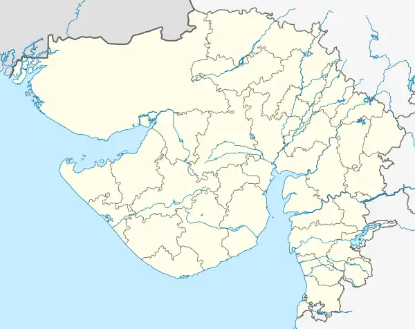 Harij Location in Gujarat, India 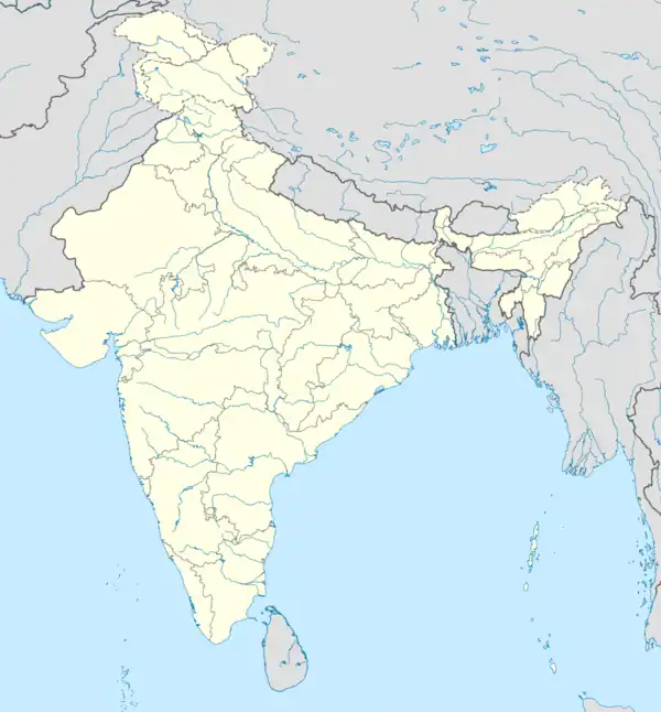 Harij Harij (India) | |
| Coordinates: 23°42′N 71°54′E / 23.7°N 71.9°E | |
| Country | |
| State | Gujarat |
| District | Patan |
| Government | |
| • Type | BJP,bhartiy janta party(2022) |
| Elevation | 33 m (108 ft) |
| Population (2001) | |
| • Total | 18,388 |
| Languages | |
| • Official | Gujarati, Hindi |
| Time zone | UTC+5:30 (IST) |
| Vehicle registration | GJ - 24 |
| Website | gujaratindia |
Harij is a city and a municipality in Patan district in the Indian state of Gujarat.
Geography
Harij is located at 23°42′N 71°54′E / 23.7°N 71.9°E.[1] It has an average elevation of 33 metres (108 feet).
Demographics
As of 2001 India census,[2] Harij had a population of 18,388. Males constitute 53% of the population and females 47%. Harij has an average literacy rate of 57%, lower than the national average of 59.5%: male literacy is 65%, and female literacy is 47%. In Harij, 15% of the population is under 6 years of age.
References
- ↑ Falling Rain Genomics, Inc - Harij
- ↑ "Census of India 2001: Data from the 2001 Census, including cities, villages and towns (Provisional)". Census Commission of India. Archived from the original on 16 June 2004. Retrieved 1 November 2008.
This article is issued from Wikipedia. The text is licensed under Creative Commons - Attribution - Sharealike. Additional terms may apply for the media files.