Hartmannsdorf | |
|---|---|
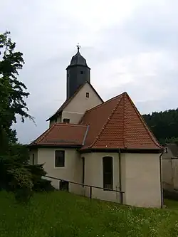 Church in Hartmannsdorf | |
Location of Hartmannsdorf | |
 Hartmannsdorf 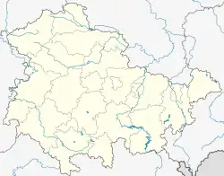 Hartmannsdorf | |
| Coordinates: 50°54′37″N 12°0′15″E / 50.91028°N 12.00417°E | |
| Country | Germany |
| State | Thuringia |
| District | Greiz |
| Town | Bad Köstritz |
| Area | |
| • Total | 3.41 km2 (1.32 sq mi) |
| Elevation | 225 m (738 ft) |
| Population (2021-12-31) | |
| • Total | 334 |
| • Density | 98/km2 (250/sq mi) |
| Time zone | UTC+01:00 (CET) |
| • Summer (DST) | UTC+02:00 (CEST) |
| Postal codes | 07586 |
| Dialling codes | 036605 |
Hartmannsdorf is a village and a former municipality in the district of Greiz, in Thuringia, Germany. On 1 January 2023 it became part of the town Bad Köstritz.[1]
References
- ↑ "Thüringer Gesetz- und Verordnungsblatt Nr. 26/2022" (PDF). 20 December 2022. p. 475.
External links
 Media related to Hartmannsdorf (bei Gera) at Wikimedia Commons
This article is issued from Wikipedia. The text is licensed under Creative Commons - Attribution - Sharealike. Additional terms may apply for the media files.