Hatfield | |
|---|---|
 University of Pretoria's Administration building ("Die skip") on its Hatfield campus | |
 Hatfield 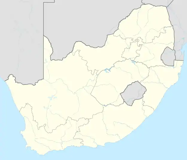 Hatfield  Hatfield | |
| Coordinates: 25°44′53″S 28°14′17″E / 25.748°S 28.238°E | |
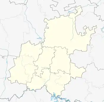
| Country | South Africa |
| Province | Gauteng |
| Municipality | City of Tshwane |
| Main Place | Pretoria |
| Area | |
| • Total | 1.97 km2 (0.76 sq mi) |
| Population (2011)[1] | |
| • Total | 9,274 |
| • Density | 4,700/km2 (12,000/sq mi) |
| Racial makeup (2011) | |
| • Black African | 50.8% |
| • Coloured | 2.5% |
| • Indian/Asian | 5.3% |
| • White | 43.9% |
| • Other | 1.4% |
| First languages (2011) | |
| • English | 33.1% |
| • Afrikaans | 28.9% |
| • Tswana | 7.0% |
| • Zulu | 6.0% |
| • Other | 25.0% |
| Time zone | UTC+2 (SAST) |
| Postal code (street) | 0002 |
| PO box | 0028 |
| Area code | 012 |
Hatfield is a suburb in Pretoria, South Africa with a high density of students as well as student accommodation due to its close proximity to the University of Pretoria's main campus.
References
- 1 2 3 4 "Sub Place Hatfield". Census 2011.
.svg.png.webp)
This article is issued from Wikipedia. The text is licensed under Creative Commons - Attribution - Sharealike. Additional terms may apply for the media files.