Heřmanice u Oder | |
|---|---|
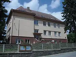 Municipal office | |
 Flag  Coat of arms | |
 Heřmanice u Oder Location in the Czech Republic | |
| Coordinates: 49°42′49″N 17°48′19″E / 49.71361°N 17.80528°E | |
| Country | |
| Region | Moravian-Silesian |
| District | Nový Jičín |
| First mentioned | 1374 |
| Area | |
| • Total | 11.95 km2 (4.61 sq mi) |
| Elevation | 486 m (1,594 ft) |
| Population (2023-01-01)[1] | |
| • Total | 361 |
| • Density | 30/km2 (78/sq mi) |
| Time zone | UTC+1 (CET) |
| • Summer (DST) | UTC+2 (CEST) |
| Postal code | 742 35 |
| Website | www |
Heřmanice u Oder (German: Gross Hermsdorf) is a municipality and village in Nový Jičín District in the Moravian-Silesian Region of the Czech Republic. It has about 400 inhabitants.
Administrative parts
The village of Véska is an administrative part of Heřmanice u Oder.
References
Wikimedia Commons has media related to Heřmanice u Oder.
This article is issued from Wikipedia. The text is licensed under Creative Commons - Attribution - Sharealike. Additional terms may apply for the media files.