Heesselt | |
|---|---|
Village | |
.jpg.webp) Church of Hesselt | |
 Heesselt Location in the Netherlands 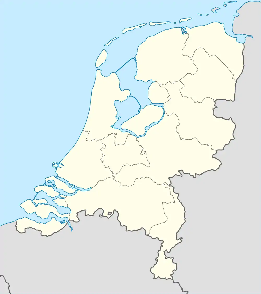 Heesselt Heesselt (Netherlands) | |
| Coordinates: 51°48′47″N 5°20′48″E / 51.81306°N 5.34667°E | |
| Country | Netherlands |
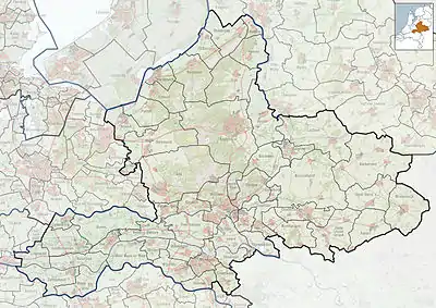
| Province | Gelderland |
| Municipality | West Betuwe |
| Area | |
| • Total | 6.01 km2 (2.32 sq mi) |
| Elevation | 9 m (30 ft) |
| Population (2021)[1] | |
| • Total | 430 |
| • Density | 72/km2 (190/sq mi) |
| Time zone | UTC+1 (CET) |
| • Summer (DST) | UTC+2 (CEST) |
| Postal code | 4063[1] |
| Dialing code | 0344 |
Heesselt is a village in the Dutch province of Gelderland. It is a part of the municipality of West Betuwe, and lies about 10 km southwest of Tiel.
It was first mentioned in 850 as Hesola, and probably means "forest with shrubbery".[3] In 1840, it was home 258 people. The Dutch Reformed Church dates from 1887, but has a 15th century tower.[4]
Gallery
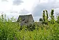 Little shed in the fields
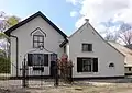 House in Heesselt
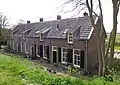 Little street in Heesselt
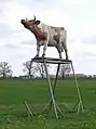 Cow statue
References
- 1 2 3 "Kerncijfers wijken en buurten 2021". Central Bureau of Statistics. Retrieved 25 March 2022.
two entries
- ↑ "Postcodetool for 4063CA". Actueel Hoogtebestand Nederland (in Dutch). Het Waterschapshuis. Retrieved 25 March 2022.
- ↑ "Heesselt - (geografische naam)". Etymologiebank (in Dutch). Retrieved 25 March 2022.
- ↑ "Heesselt". Plaatsengids (in Dutch). Retrieved 25 March 2022.
Wikimedia Commons has media related to Heesselt.
This article is issued from Wikipedia. The text is licensed under Creative Commons - Attribution - Sharealike. Additional terms may apply for the media files.