Heide | |
|---|---|
Village | |
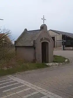 Mary chapel | |
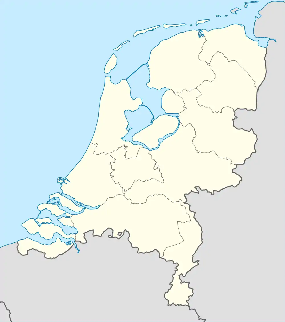 Heide Location in the Netherlands 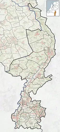 Heide Location in the province of Limburg in the Netherlands | |
| Coordinates: 51°30′18″N 5°57′1″E / 51.50500°N 5.95028°E | |
| Country | Netherlands |
| Province | Limburg |
| Municipality | Venray |
| Area | |
| • Total | 5.52 km2 (2.13 sq mi) |
| Elevation | 28 m (92 ft) |
| Population (2021)[1] | |
| • Total | 495 |
| • Density | 90/km2 (230/sq mi) |
| Time zone | UTC+1 (CET) |
| • Summer (DST) | UTC+2 (CEST) |
| Postal code | 5812[1] |
| Dialing code | 0478 |
Heide is a village in the Dutch province of Limburg. It is a part of the municipality of Venray, and lies about 20 km east of Helmond.
The village was first mentioned between 1838 and 1857 as "de Heijde", and means cultivated heath.[3] Heide is located on the edge of the Peel region. In 1946, a temporary church was built. The building was replaced by a real church in 1965.[4]
References
- 1 2 3 "Kerncijfers wijken en buurten 2021". Central Bureau of Statistics. Retrieved 26 April 2022.
- ↑ "Postcodetool for 5812AA". Actueel Hoogtebestand Nederland (in Dutch). Het Waterschapshuis. Retrieved 26 April 2022.
- ↑ "Heide - (geografische naam)". Etymologiebank (in Dutch). Retrieved 26 April 2022.
- ↑ "Heide (Venray)". Plaatsengids (in Dutch). Retrieved 26 April 2022.
This article is issued from Wikipedia. The text is licensed under Creative Commons - Attribution - Sharealike. Additional terms may apply for the media files.