| Higher Bal | |
|---|---|
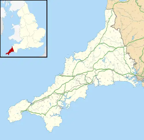 Higher Bal Location within Cornwall | |
| OS grid reference | SW711508 |
| Civil parish | |
| Unitary authority | |
| Ceremonial county | |
| Region | |
| Country | England |
| Sovereign state | United Kingdom |
| Post town | St Agnes |
| Postcode district | TR5 |
Higher Bal is a hamlet in the parish of St Agnes, Cornwall, England.[1][2]
References
- ↑ Ordnance Survey: Landranger map sheet 203 Land's End & Isles of Scilly (Map). Ordnance Survey. 2009. ISBN 978-0-319-23289-7.
- ↑ Higher Bal; Explore Britain
| Unitary authorities | |
|---|---|
| Major settlements (cities in italics) |
|
| Rivers | |
| Topics | |
This article is issued from Wikipedia. The text is licensed under Creative Commons - Attribution - Sharealike. Additional terms may apply for the media files.