Hkengnang | |
|---|---|
Village | |
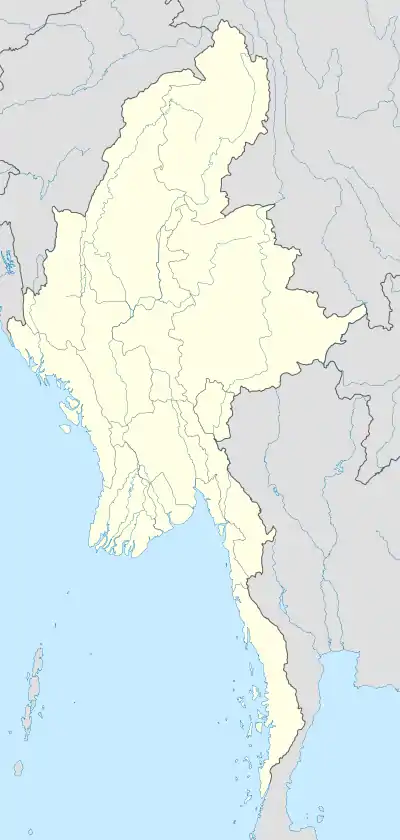 Hkengnang Location in Burma | |
| Coordinates: 20°6′N 97°27′E / 20.100°N 97.450°E | |
| Country | |
| State | Shan State |
| District | Loilen District |
| Township | Mawkmai Township |
| Time zone | UTC+6.30 (MST) |
Hkengnang is a village in Mawkmai Township, Loilen District, in the Shan State of eastern Burma. It is a primarily agricultural village with fields surrounding it in an otherwise remote, heavily forested area.[1][2] It lies north of Mak and northwest of Wān Long.
References
- ↑ Maps (Map). Google Maps.
- ↑ Bing Maps (Map). Microsoft and Harris Corporation Earthstar Geographics LLC.
External links
This article is issued from Wikipedia. The text is licensed under Creative Commons - Attribution - Sharealike. Additional terms may apply for the media files.