| Hochwand | |
|---|---|
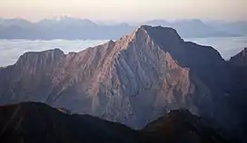 Hochwand from the north | |
| Highest point | |
| Elevation | 2,719 m (8,921 ft) |
| Prominence | 402 m (1,319 ft)[1] |
| Isolation | 1.9 km (1.2 mi) |
| Coordinates | 47°36′N 11°02′E / 47.600°N 11.033°E |
| Geography | |
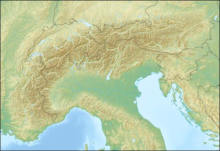 Hochwand Location in the Alps | |
| Location | Tyrol, Austria |
| Parent range | Mieming Range |
| Climbing | |
| First ascent | Hermann von Barth, 1873[2] |
Hochwand (2,719 m) is a mountain in the Mieming Range in Tyrol, Austria.
It is most famous for its impressive north face, which tumbles for 1,300 m down into the Gaistal valley below. The normal route to the summit is from the south, where the slopes are less steep. It is a very difficult climb from all sides and much scrambling is required to reach the summit. Climbs usually begin at the village of Wildermieming.[2]
References
- ↑ "Austria - Europeaklist". Mark Trengove. Retrieved 10 November 2019.
- 1 2 "Hochwand - Summitpost". summitpost.org. Retrieved 10 November 2019.
This article is issued from Wikipedia. The text is licensed under Creative Commons - Attribution - Sharealike. Additional terms may apply for the media files.