| House Rock Valley | |
|---|---|
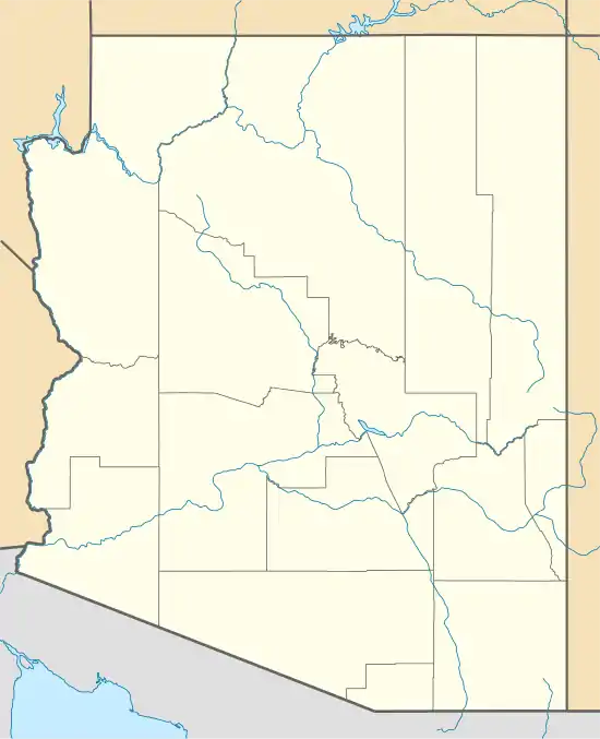 House Rock Valley Location of House Rock Valley  House Rock Valley House Rock Valley (the United States) | |
| Floor elevation | 3,182 feet (970 m)[1] |
| Geography | |
| Country | United States |
| State | Arizona |
| County | Yavapai |
| Unincorporated community | House Rock |
| Coordinates | 36°40′24″N 111°44′41″W / 36.67333°N 111.74472°W[1] |
| Traversed by | U.S. Route 89A |
| River | House Rock Wash |
House Rock Valley is a valley on Paria Plateau, north of the Grand Canyon, in Coconino County, Arizona, United States[1] The valley was named by the John Wesley Powell Expedition after a rock formation in the valley where they spent the night in 1871.[1] It is traversed by a highway that is currently designated as U.S. Route 89A.[2]
See also
References
- 1 2 3 4 U.S. Geological Survey Geographic Names Information System: House Rock Valley
- ↑ Google (3 Jun 2020). "House Rock Valley, Arizona 86036" (Map). Google Maps. Google. Retrieved 3 Jun 2020.
External links
![]() Media related to House Rock Valley at Wikimedia Commons
Media related to House Rock Valley at Wikimedia Commons
This article is issued from Wikipedia. The text is licensed under Creative Commons - Attribution - Sharealike. Additional terms may apply for the media files.