Huitzila | |
|---|---|
Locality | |
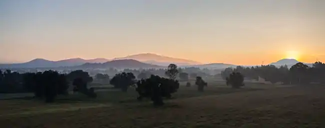 Sunrise landscape in Huitzila | |
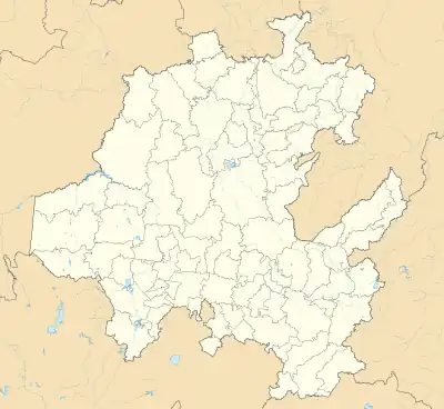  Huitzila Location of Huitzila 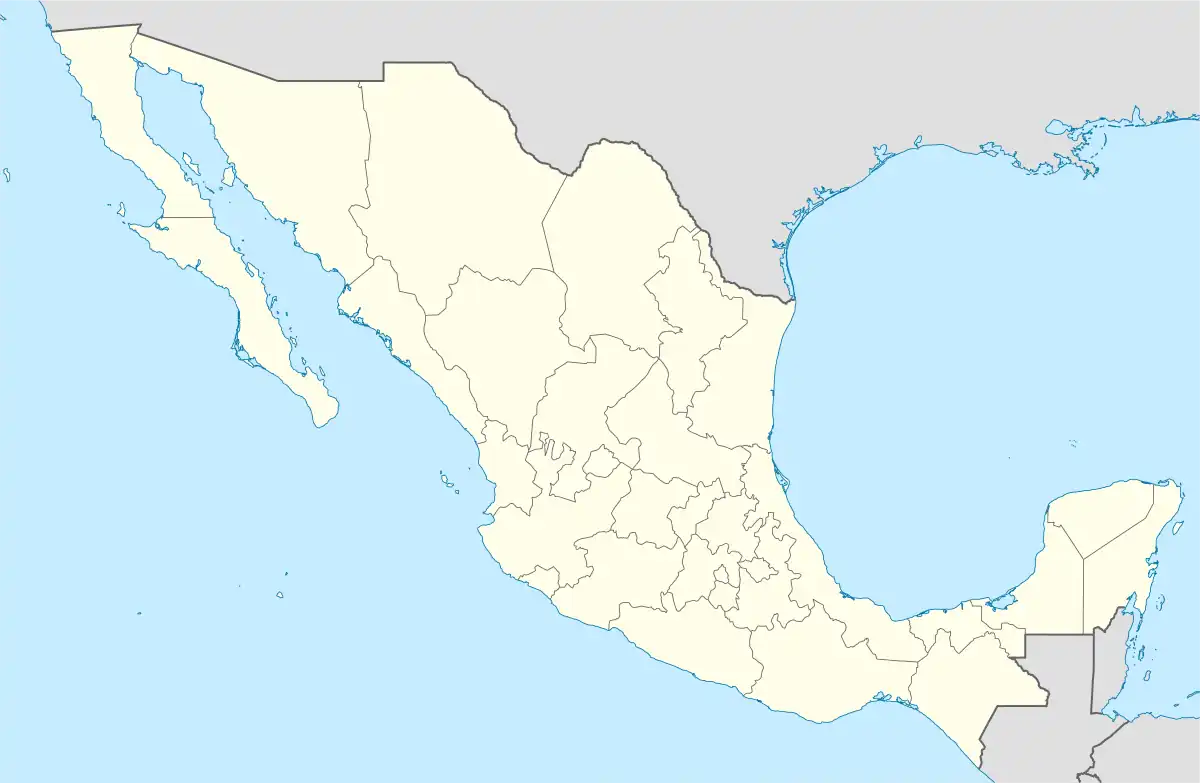 Huitzila Huitzila (Mexico) | |
| Coordinates: 19°48′48″N 98°57′31″W / 19.81333°N 98.95861°W | |
| Country |  Mexico Mexico |
| State | Hidalgo |
| Municipality | Tizayuca |
| Elevation | 2,285 m (7,497 ft) |
| Population (2020)[1] | |
| • Total | 5,805 |
Huitzila is locality in the municipality of Tizayuca, in the state of Hidalgo in central-eastern Mexico. It is located in Tizayuca Valley and is part of Greater Mexico City.
Etymology
Huitzila refers to the Nahuatl term meaning: "Place among the hummingbirds".
Geography
Huitzila is located in Tizayuca Valley, with the geographic coordinates at 19°48′48″N 98°57′31″W / 19.81333°N 98.95861°W and an altitude of 2,285 m (7,497 ft).[2] In terms of physiography, it is part of the Trans-Mexican Volcanic Belt, within the subprovince of Lagos and volcanoes of Anáhuac; its terrain includes valley and plain.[3][4][5] With regard to hydrography, it is positioned in the Pánuco region, within the Moctezuma River basin, in the Tezontepec River sub-basin.[3][4][6] It has a temperate semi-dry climate.[3][4][7]
Demographics
In 2020, Huitzila had a population of 5,805 people, which corresponds to 3.45% of the locality's population[1] in which 2,895 were men and 2,910 were women.[1] It also has 1,500 inhabited private homes.[1]
Economy
Huitzila has a low degree of marginalization and a very low degree of social backwardness.[1]
References
- 1 2 3 4 5 Catálogo Localidades - Microrregiones. "Huitzila". Secretariat of Welfare. Retrieved 2 September 2018.
- ↑ INEGI. "Archivo histórico de localidades geoestadísticas". National Institute of Statistics and Geography. Retrieved 28 December 2020.
- 1 2 3 INEGI. "Tizayuca, Hidalgo". Enciclopedia de los Municipios y Delegaciones de México. Archived from the original on 12 November 2017. Retrieved 22 March 2017.
- 1 2 3 INEGI. "Tizayuca, Hidalgo" (PDF). Prontuario de información geográfica municipal de los Estados Unidos Mexicanos. Retrieved 22 March 2017.
- ↑ INEGI. "Fisiografia". Marco Geoestadístico. Retrieved 28 December 2020.
- ↑ INEGI. "Hidrografía". Marco Geoestadístico. Retrieved 28 December 2020.
- ↑ INEGI. "Climatología". Marco Geoestadístico. Retrieved 28 December 2020.