Humbug, Arizona | |
|---|---|
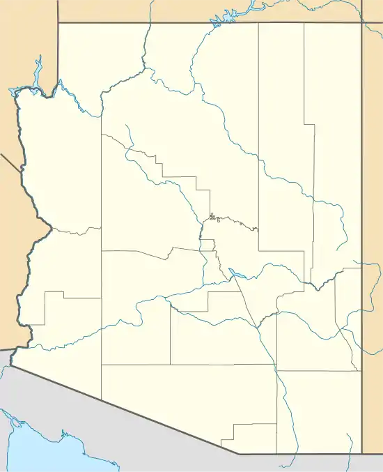 Humbug Location within the state of Arizona  Humbug Humbug (the United States) | |
| Coordinates: 34°03′17″N 112°19′24″W / 34.05472°N 112.32333°W | |
| Country | United States |
| State | Arizona |
| County | Yavapai |
| Elevation | 2,461 ft (750 m) |
| Time zone | UTC-7 (Mountain (MST)) |
| • Summer (DST) | UTC-7 (MST) |
| Area code | 928 |
| FIPS code | 04-34645 |
| GNIS feature ID | 24467 |
Humbug, also known as Humburg, is a populated place situated in Yavapai County, Arizona, United States.[2] Named after Humbug Creek,[3] it has an estimated elevation of 2,461 feet (750 m) above sea level.[1]
References
- 1 2 "Feature Detail Report for: Humbug". Geographic Names Information System. United States Geological Survey, United States Department of the Interior.
- ↑ "Humbug (in Yavapai County, AZ) Populated Place Profile". AZ Hometown Locator. Retrieved November 27, 2016.
- ↑ Barnes, Will Croft (2016). Arizona Place Names. Tucson: Arizona Place Names. p. 217. ISBN 978-0816534951.
External links
 Media related to Humbug, Arizona at Wikimedia Commons
Municipalities and communities of Yavapai County, Arizona, United States | ||
|---|---|---|
| Cities | 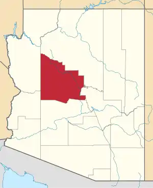 | |
| Towns | ||
| CDPs | ||
| Populated places |
| |
| Indian reservations | ||
| Ghost towns | ||
| Footnotes | ‡This populated place also has portions in an adjacent county or counties | |
This article is issued from Wikipedia. The text is licensed under Creative Commons - Attribution - Sharealike. Additional terms may apply for the media files.