| Ichte | |
|---|---|
 | |
| Location | |
| Country | Germany |
| States | Thuringia and Lower Saxony |
| Physical characteristics | |
| Source | |
| • location | East of the Oder Dam |
| • coordinates | 51°39′19″N 10°32′43″E / 51.6552°N 10.5453°E |
| Mouth | |
• location | northeast of Pützlingen, a district of Werther, into the Helme |
• coordinates | 51°31′27″N 10°37′46″E / 51.5243°N 10.6295°E |
| Basin features | |
| Progression | Helme→ Unstrut→ Saale→ Elbe→ North Sea |
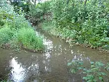
The Ichte discharges (from top) into the Helme
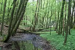
Ichte, in its upper course also called Steinaer Bach, is a river of Thuringia and Lower Saxony, Germany.
The Ichte springs east of the Oder Dam as Steinaer Bach in Lower Saxony.[1] After the confluence of the Hellegrundbach, the river is called Ichte.[2] The Ichte then crosses the boundary between Lower Saxony and Thuringia.[2] It finally discharges northeast of Pützlingen, a district of Werther, from the left into the Helme.[3]
See also
References
- ↑ Google (28 October 2018). "Ichte (Steinaer Bach) source" (Map). Google Maps. Google. Retrieved 28 October 2018.
- 1 2 Google (28 October 2018). "Hellegrundbach mouth" (Map). Google Maps. Google. Retrieved 28 October 2018.
- ↑ Google (28 October 2018). "Ichte mouth" (Map). Google Maps. Google. Retrieved 28 October 2018.
This article is issued from Wikipedia. The text is licensed under Creative Commons - Attribution - Sharealike. Additional terms may apply for the media files.