Ilebo Airport | |||||||||||
|---|---|---|---|---|---|---|---|---|---|---|---|
| Summary | |||||||||||
| Airport type | Public | ||||||||||
| Location | Ilebo, Democratic Republic of Congo | ||||||||||
| Elevation AMSL | 1,450 ft / 442 m | ||||||||||
| Coordinates | 04°19′48″S 020°36′21″E / 4.33000°S 20.60583°E | ||||||||||
| Map | |||||||||||
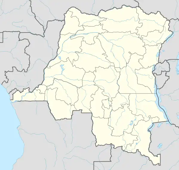 PFR Location within DRC | |||||||||||
| Runways | |||||||||||
| |||||||||||
Ilebo Airport (IATA: PFR, ICAO: FZVS) is an airport serving the Kasai River port of Ilebo, in Kasaï Province, Democratic Republic of Congo. The runway is within the city.
See also
References
- ↑ Google Maps - Ilebo
- ↑ Airport information for Ilebo Airport at Great Circle Mapper.
External links
- OpenStreetMap - Ilebo
- OurAirports - Ilebo Airport
- FallingRain - Ilebo Airport
- Accident history for Ilebo Airport at Aviation Safety Network
This article is issued from Wikipedia. The text is licensed under Creative Commons - Attribution - Sharealike. Additional terms may apply for the media files.